
Gibraltar-Washpool World Heritage Walker’s Notes

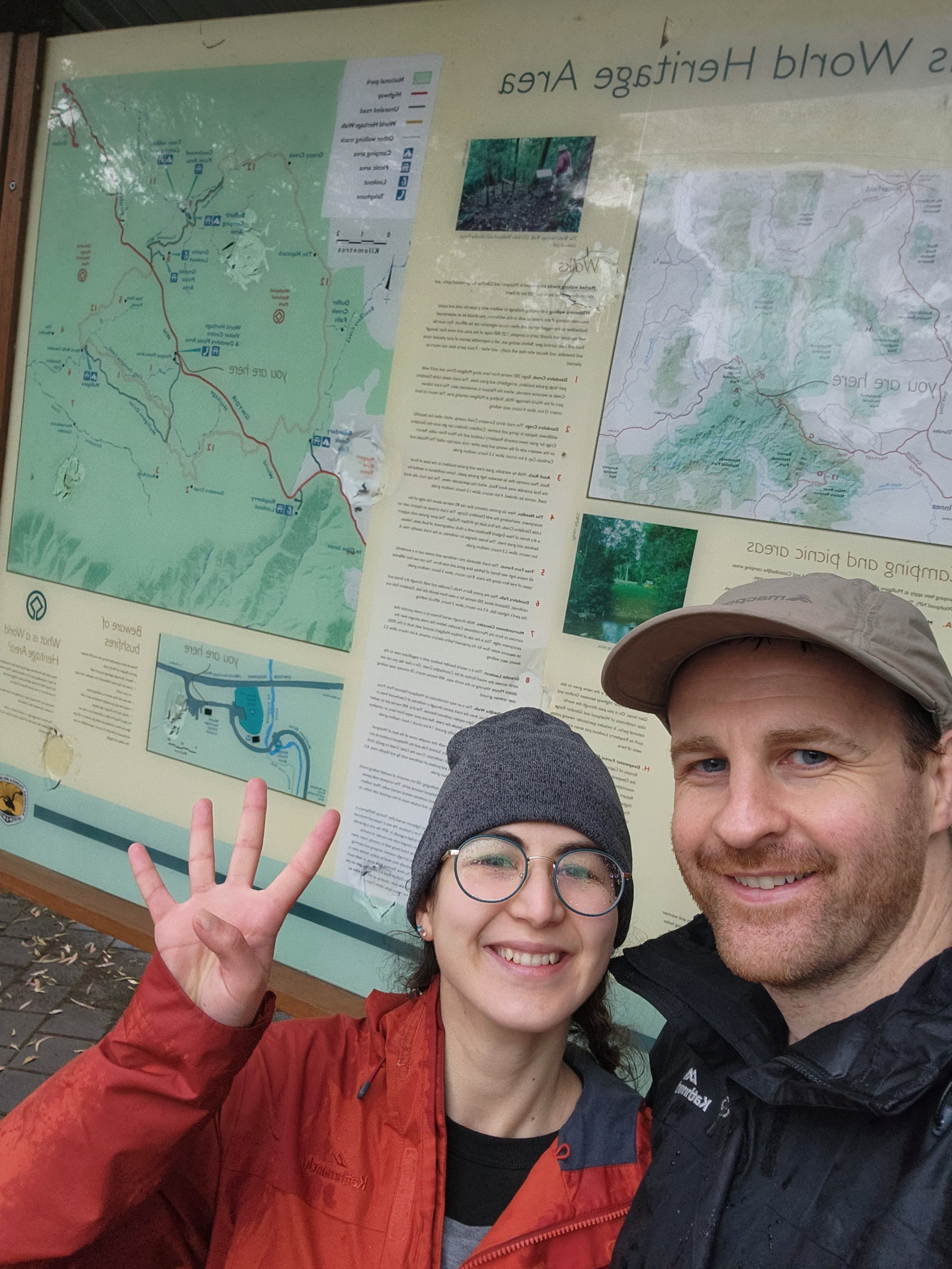
We completed the Gibraltar-Washpool World Heritage Walk in September 2023 as a training hike. This was our longest hike at that time and we were keen for the challenge. It’s about 8 hours drive from Sydney and 4 hours 30 mins from Brisbane.
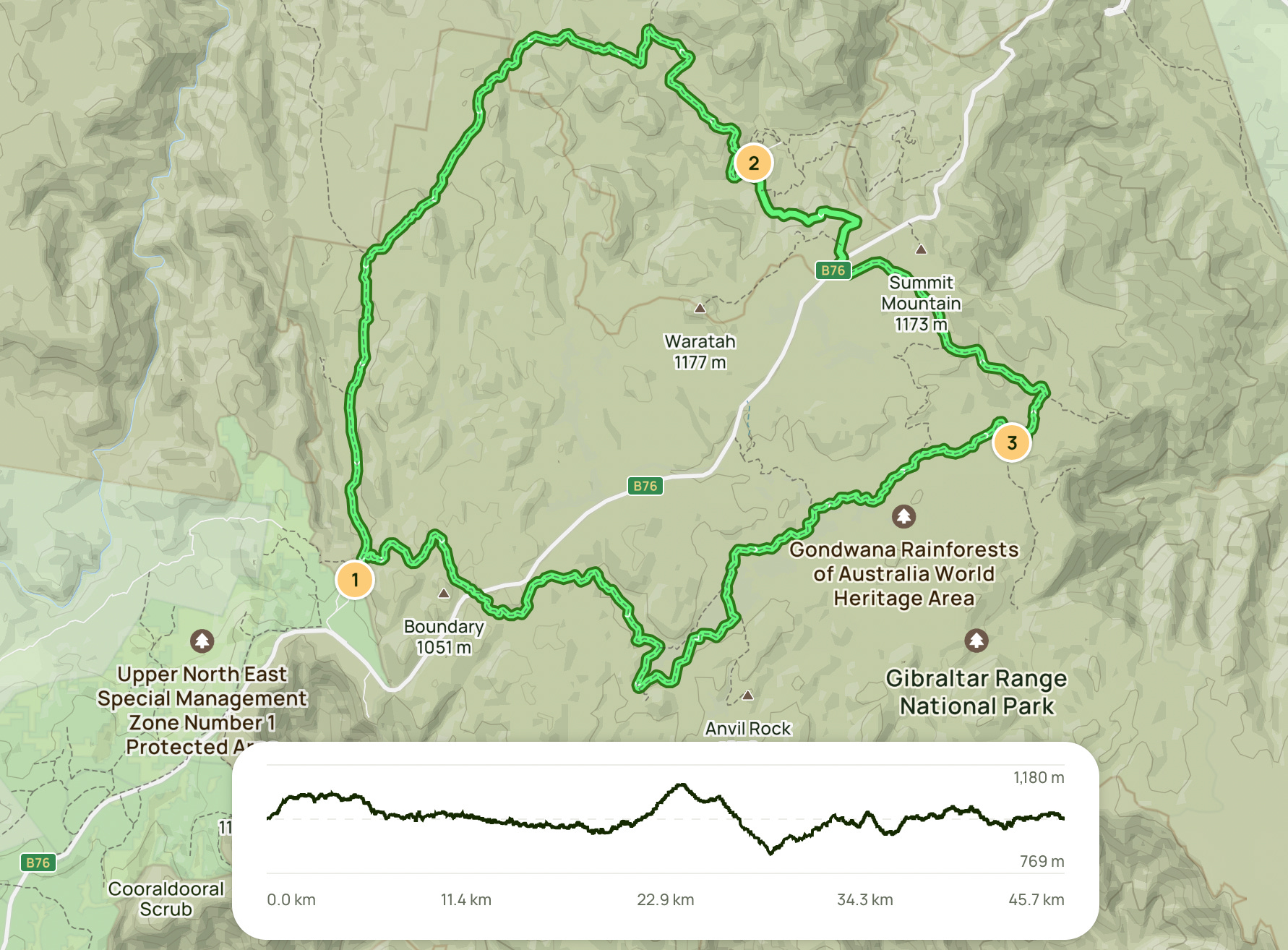
Overview
Length: 46km loop excluding side trails (we started from the Platypus Picnic Area which added 4.2km to the hike, and also completed a few short side trails along the way)
Duration: 3-4 days (we completed in 3.5 days)
Seasonality: Trail conditions are good. Spring is the best time to visit. Too cold in winter (1-10 degrees, -9 degrees is the lowest recorded) but doable.
Grade: 4 by NSW National Parks. I would grade it 3.5.
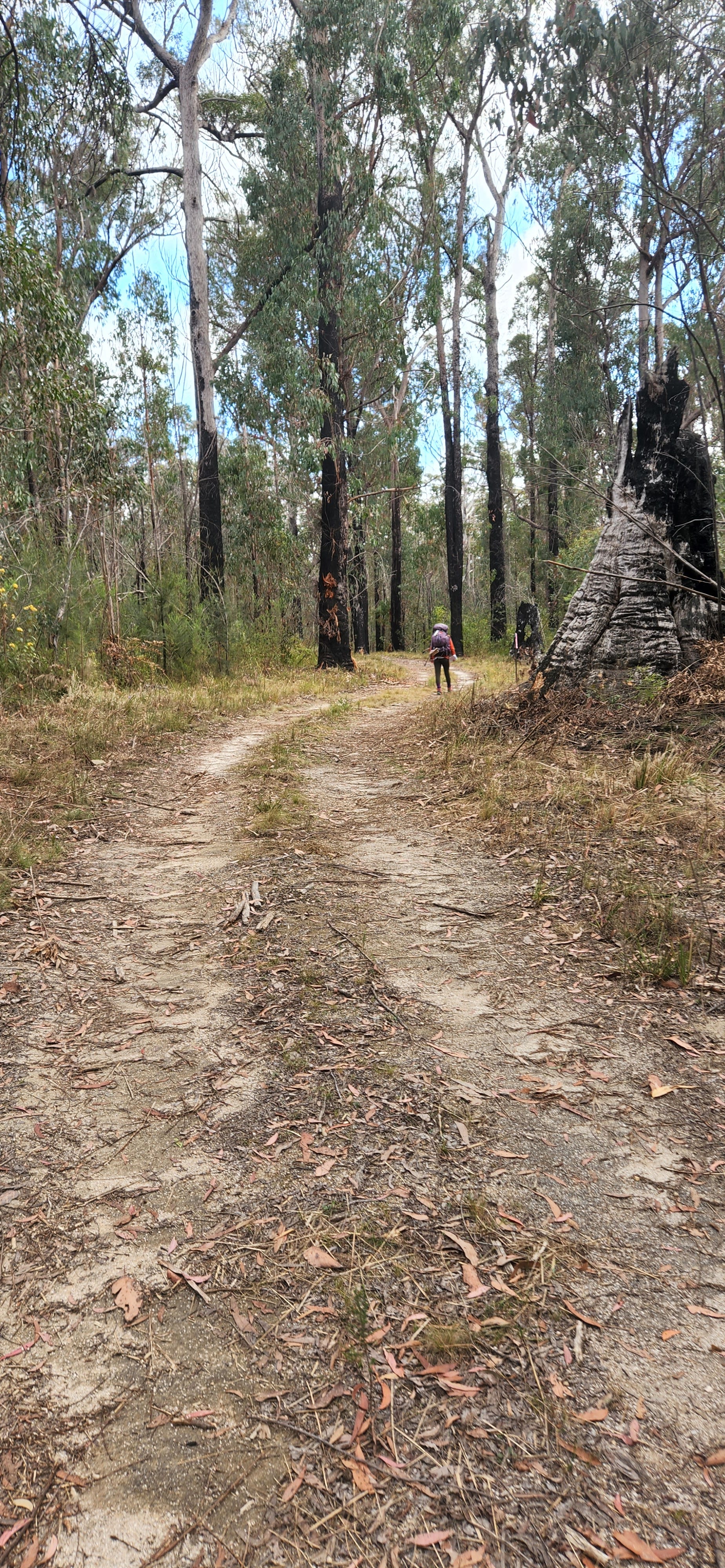
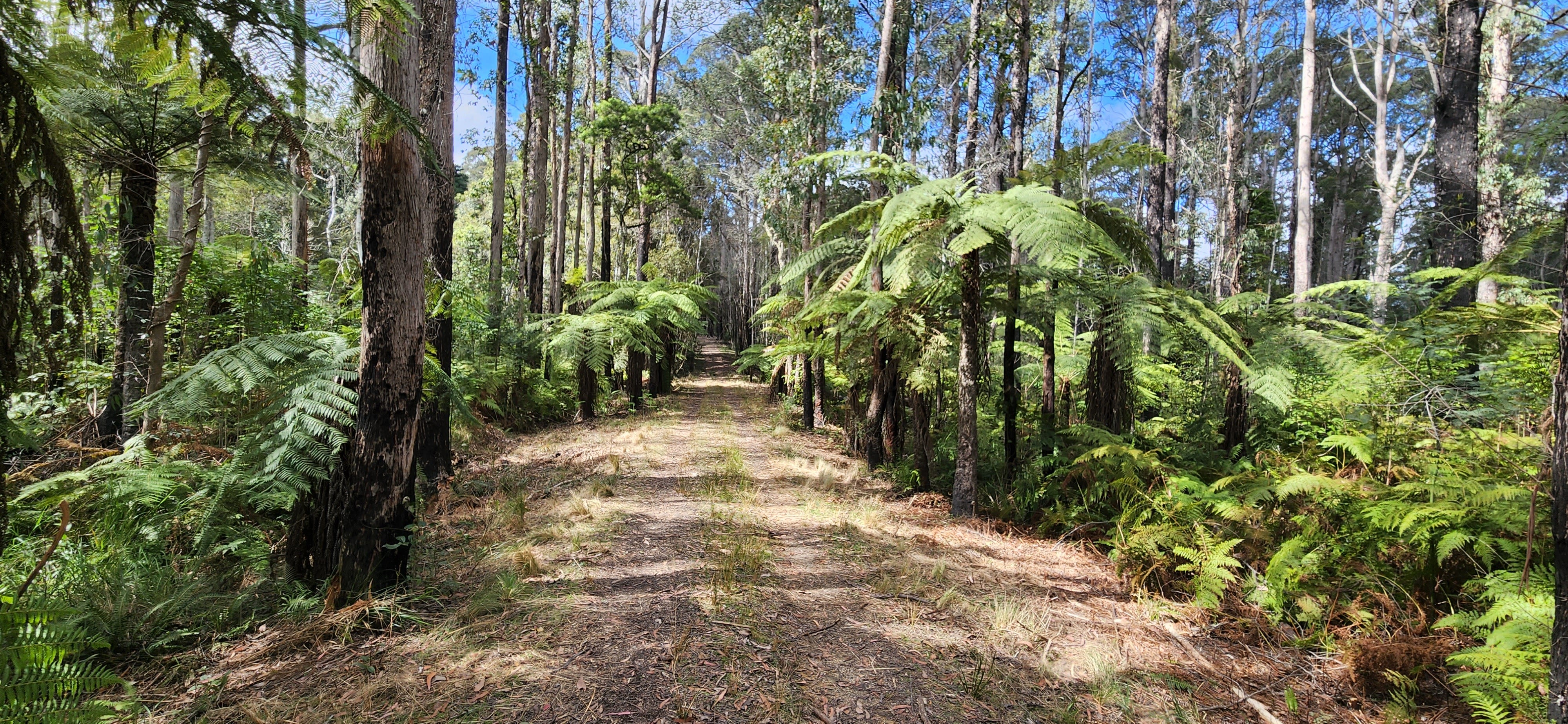
Terrain: uphills and downhills throughout the whole trail. Mostly even flat grounds. A mix of eucalypt forests, rainforests, wetlands and granite tors.
Skills Required: make sure you have done some overnight hikes before and are fit enough to hike 16km days. Otherwise, it’s a typical Aussie bush trail — no surprises.
Popularity: there are lookouts, picnic areas, BQ facilities, toilets and places to swim. But the track wasn’t popular. Only 1 out of the 4 days we’ve seen families. I predict if we’ve been there November-February, this place would be very popular.
Accessibility: there are plenty of car parks on the loop.
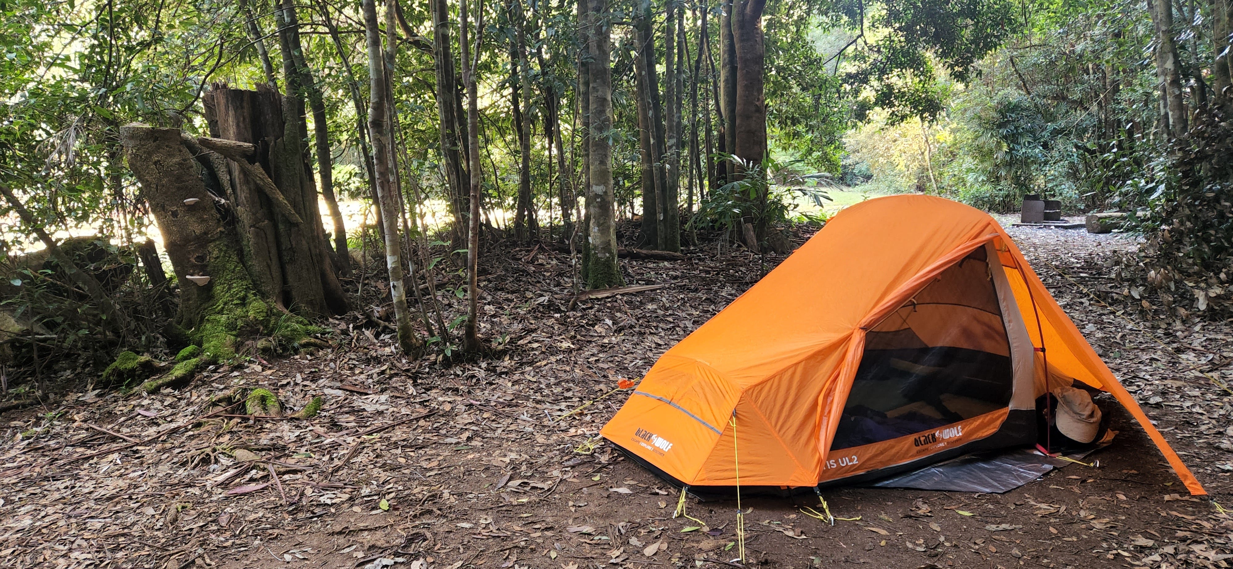
Campsites: 4 in total. Quite good campsites with facilities.
Other Notes: there are a few lovely side trails on the way. 2 of the campsites have beautiful spots to swim.
Additional Resources: https://www.nationalparks.nsw.gov.au/things-to-do/walking-tracks/gibraltarwashpool-world-heritage-walk and https://www.alltrails.com/trail/australia/new-south-wales/gibraltar-washpool-world-heritage-walk
Packing & Food Guide
Standard camping gear, food and clothes.
As this was a 3-4 day hike, we were able to bring more fresh foods with us, like wraps, spreads, milk, and light fruits and veggies.
Bring a towel, as there are lovely spots to swim at.
Hiking poles are nice but are not a must-have; we completed this trail without them.
Day 1: Platypus Picnic Area to Boundary Falls Campground
16 km, approx 5 hours
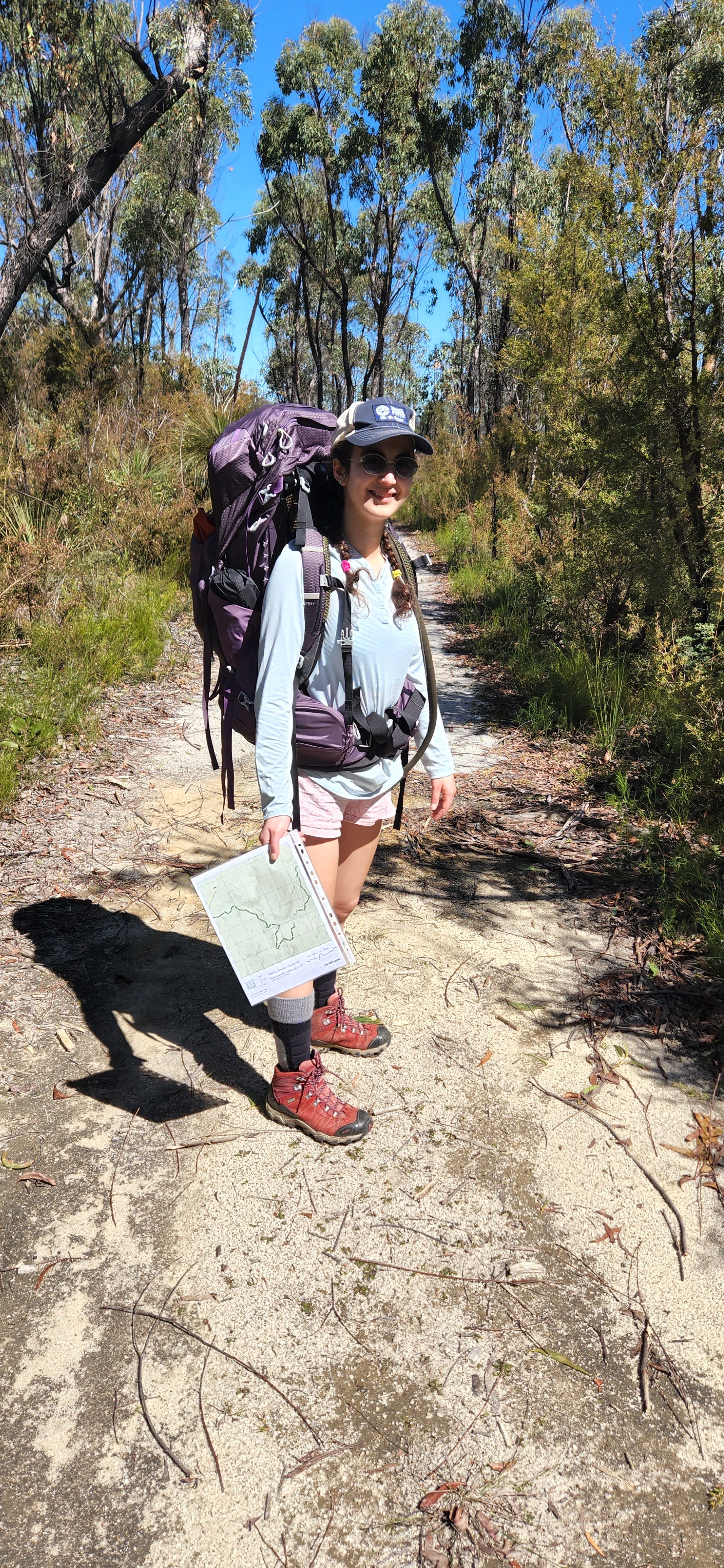
We snacked on bananas during the drive and stopped by Maccas for a coffee. I am a girl who likes to balance out her days when possible (in terms of difficulty and distance), even if it means completing a longer hike. So rather than starting our hike from a regular campsite, we parked at the Platypus Picnic Area (between Mulligan’s Hut and Boundary Falls).
Platypus Picnic Area is near the Gibraltar House (which you can rent out for comfy accomodation - https://www.nationalparks.nsw.gov.au/camping-and-accommodation/accommodation/gibraltar-house) and the carpark is quite small (but seemed safe).
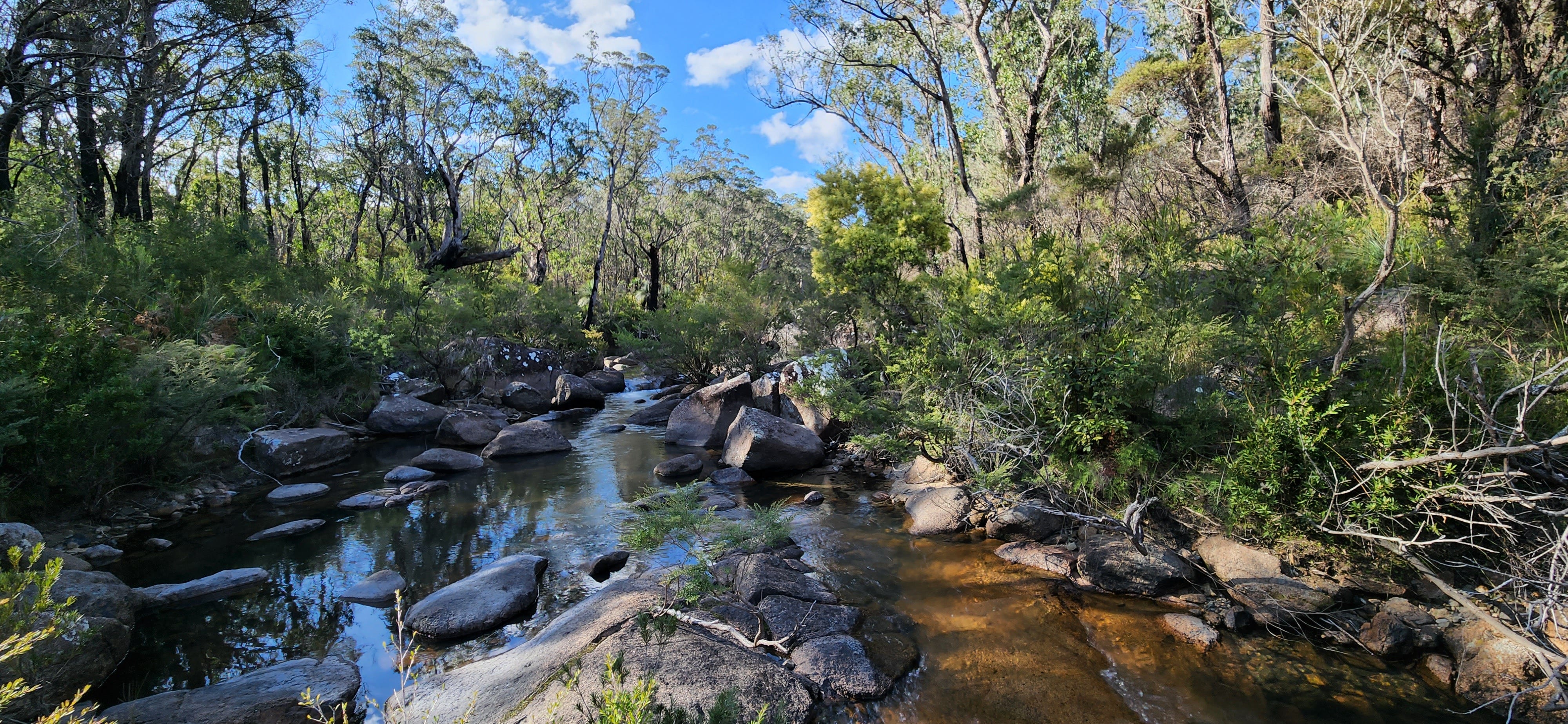
By taking this option, we added 4.2km to our trail. This picnic area connects with the main track via the Little Dandahra Creek Walk. This is a cute scenic walk that starts like a sandy dry fire trail but evolves into wetlands. We passed waterways and a big creek, which is apparently swimmable. At the intersection, we took a right turn to complete this trail clockwise.
2km in, we encountered another split-off. Surveyors Creek Trail follows the creek closer and is a shorter trail. We continued on the original track.
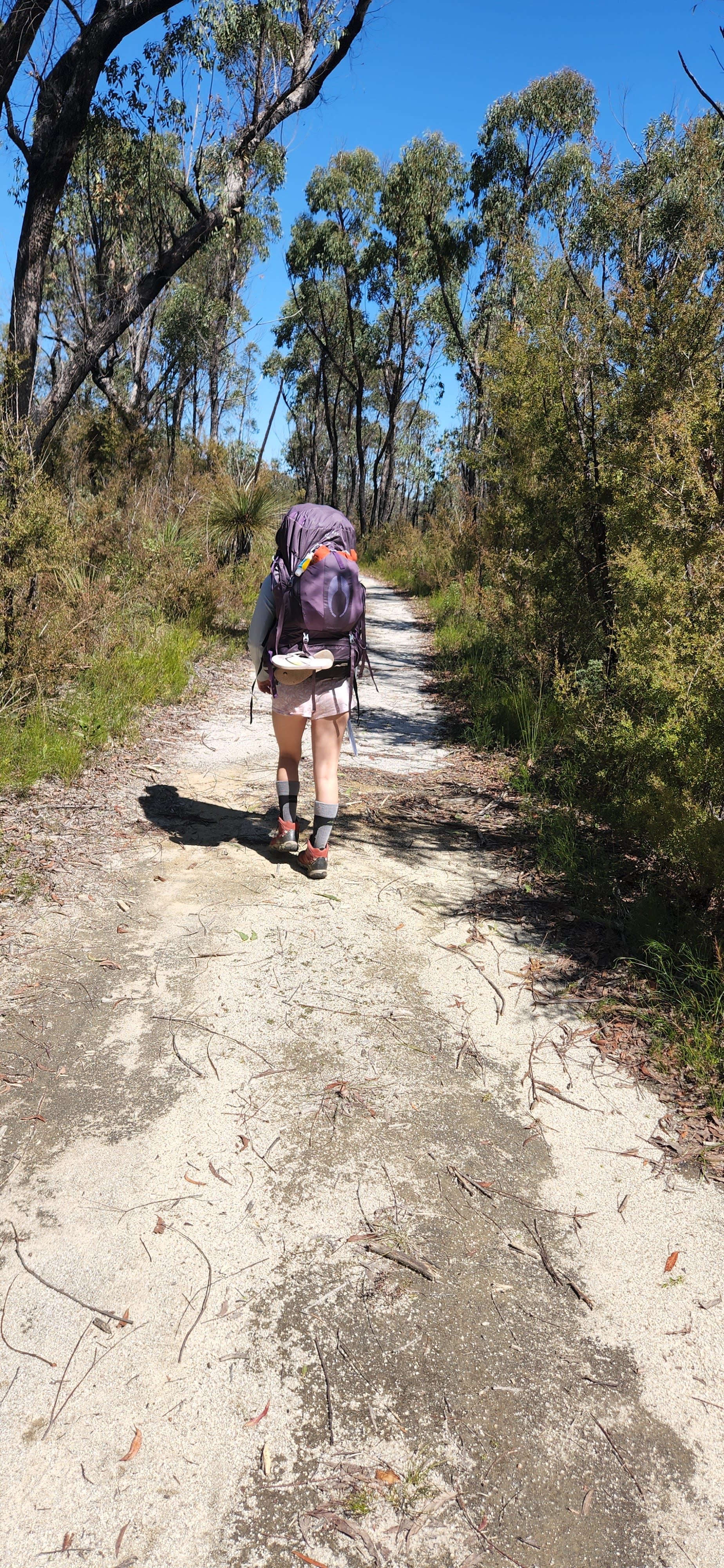
Honestly, I don’t remember much else of the walk, as I zoned out daydreaming to distract myself from pre-period nausea. Apparently, I was racing through the track (as I usually do when daydreaming); David began shouting after me to slow down.
About 8km in, we stopped for a lunch break to have salami sticks and All Natural Bakery’s carob, macadamia & oat bar. This was the halfway mark to our first campsite in Boundary Falls.
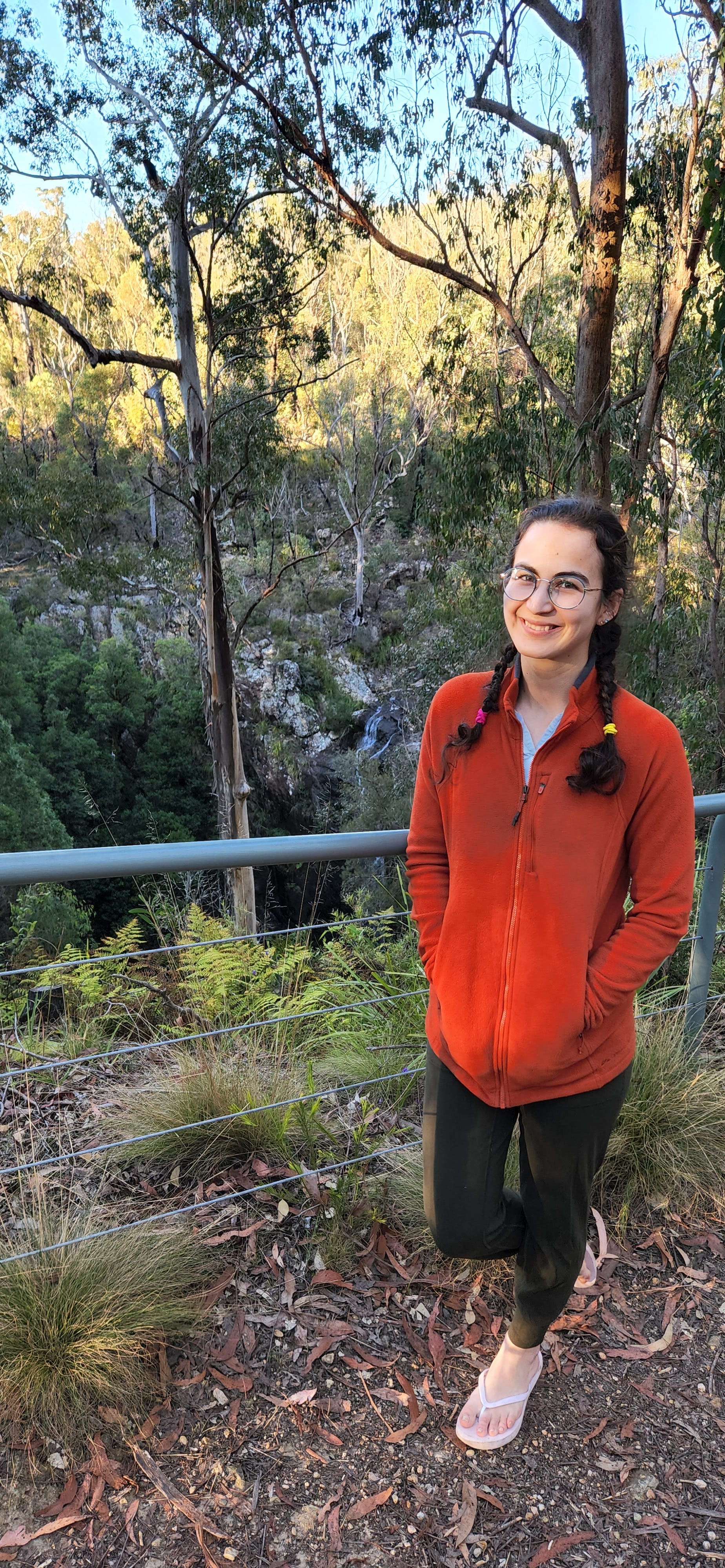
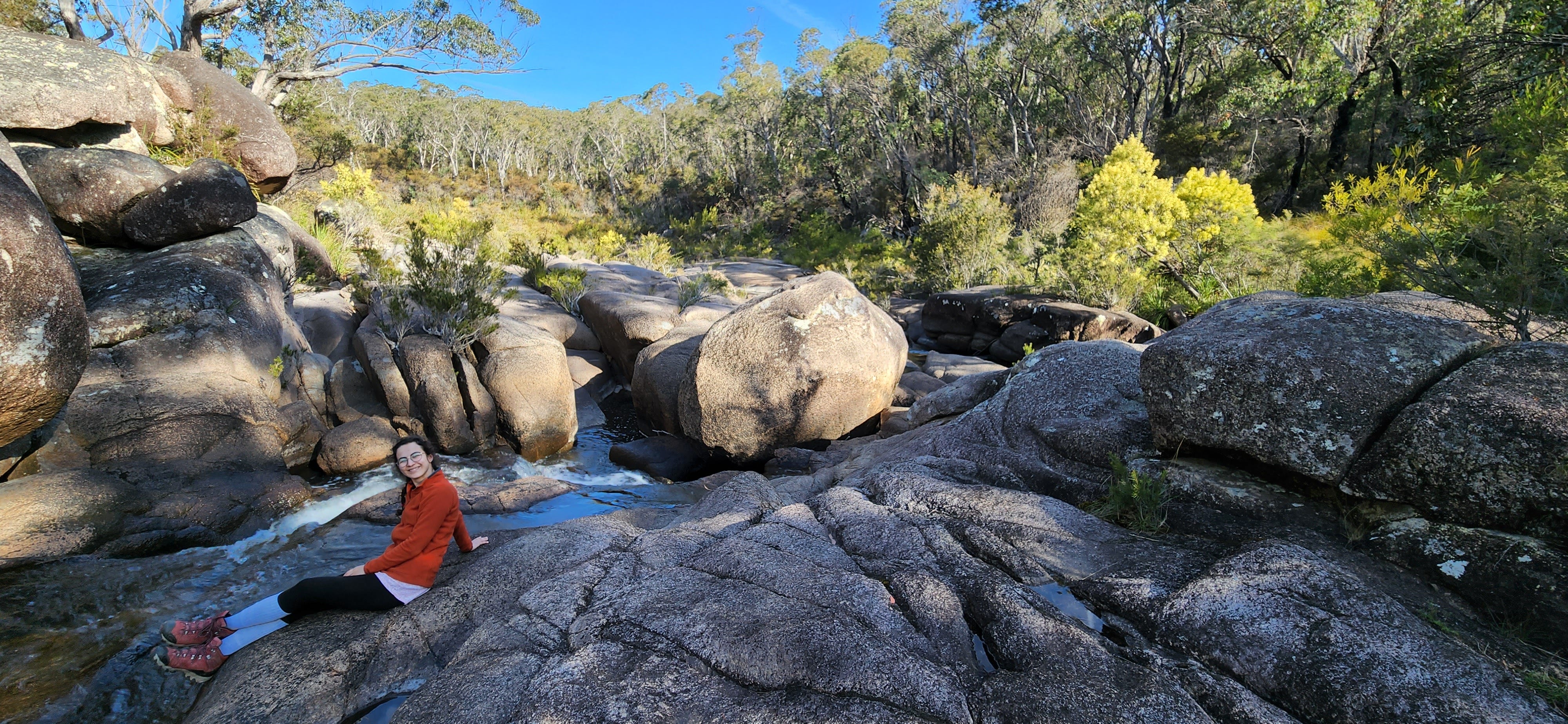
On the way to Boundary Falls, you’ll cross the main road, then the Tin One Creek. The campsite is small but has picnic tables, BBQ facilities and toilets. There is also an information board about the mining industry of the 1900s. We camped near a steep short trail which descends down to a small creek. I collected some water from there first, then took a dip.
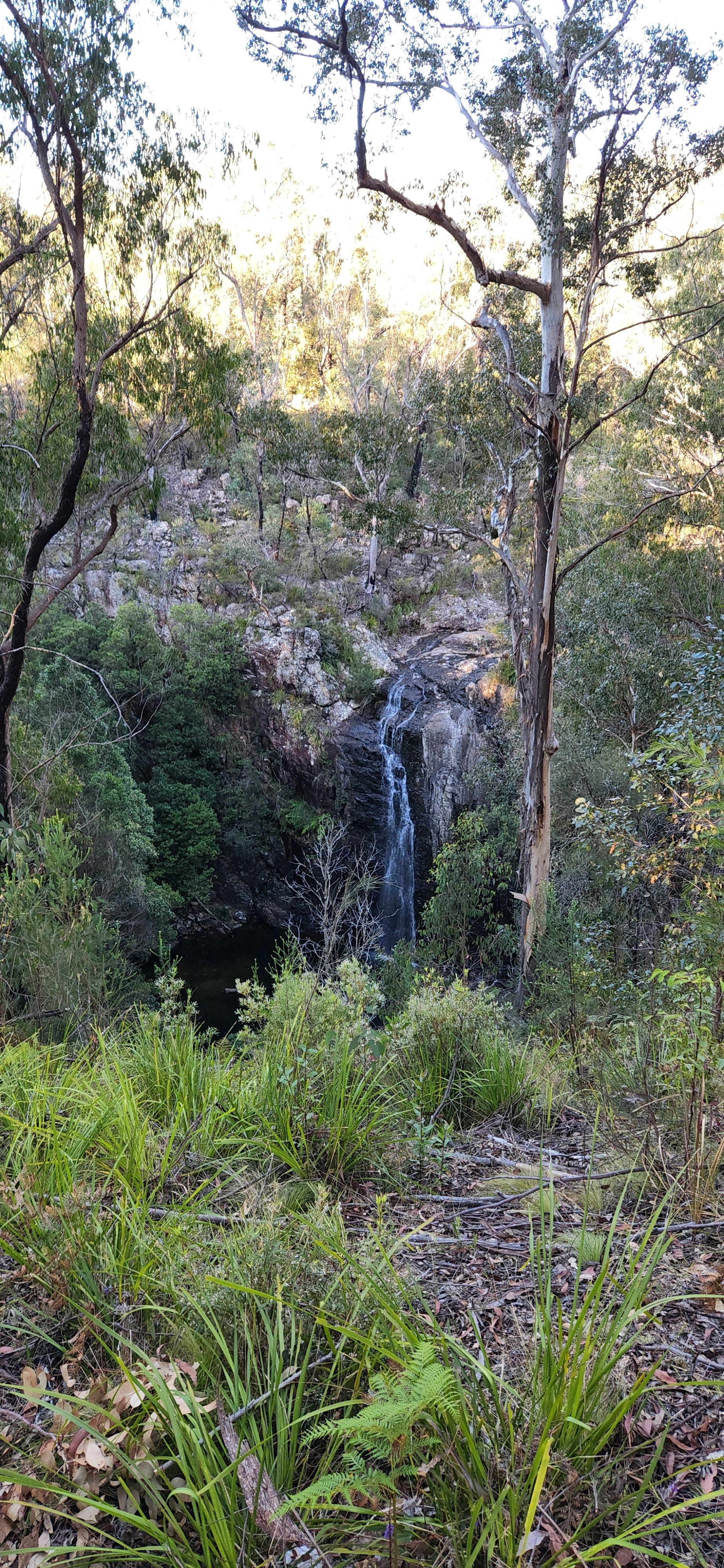
The Duffer Falls side trail starts from here (7km return). We explored the Lyrebird Falls track instead (2km return) because I really wanted to see the waterfalls. I have no clue how to get down to the bottom of the falls but we saw a couple swimming there. I was jealous; that would have been magical.
While the day was warm, once sun began to disappear, the temperatures dropped quickly. I remember having a comfort soup with some rice under a thousand stars. The sky was so dark and so sparkly at the same time.
Day 2: Boundary Falls Campground to Coombadjha Campground
18 km, approx 7 hours
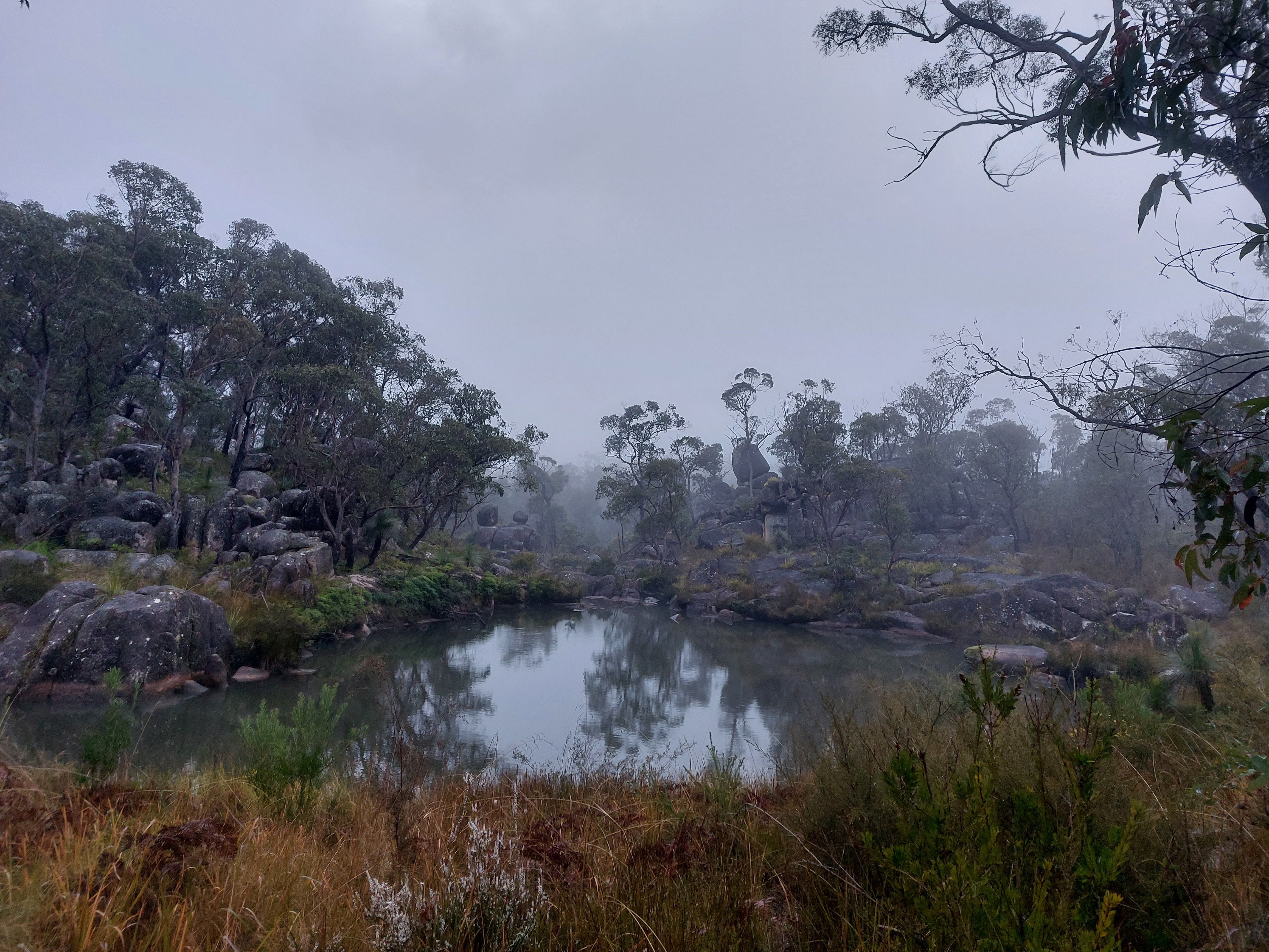
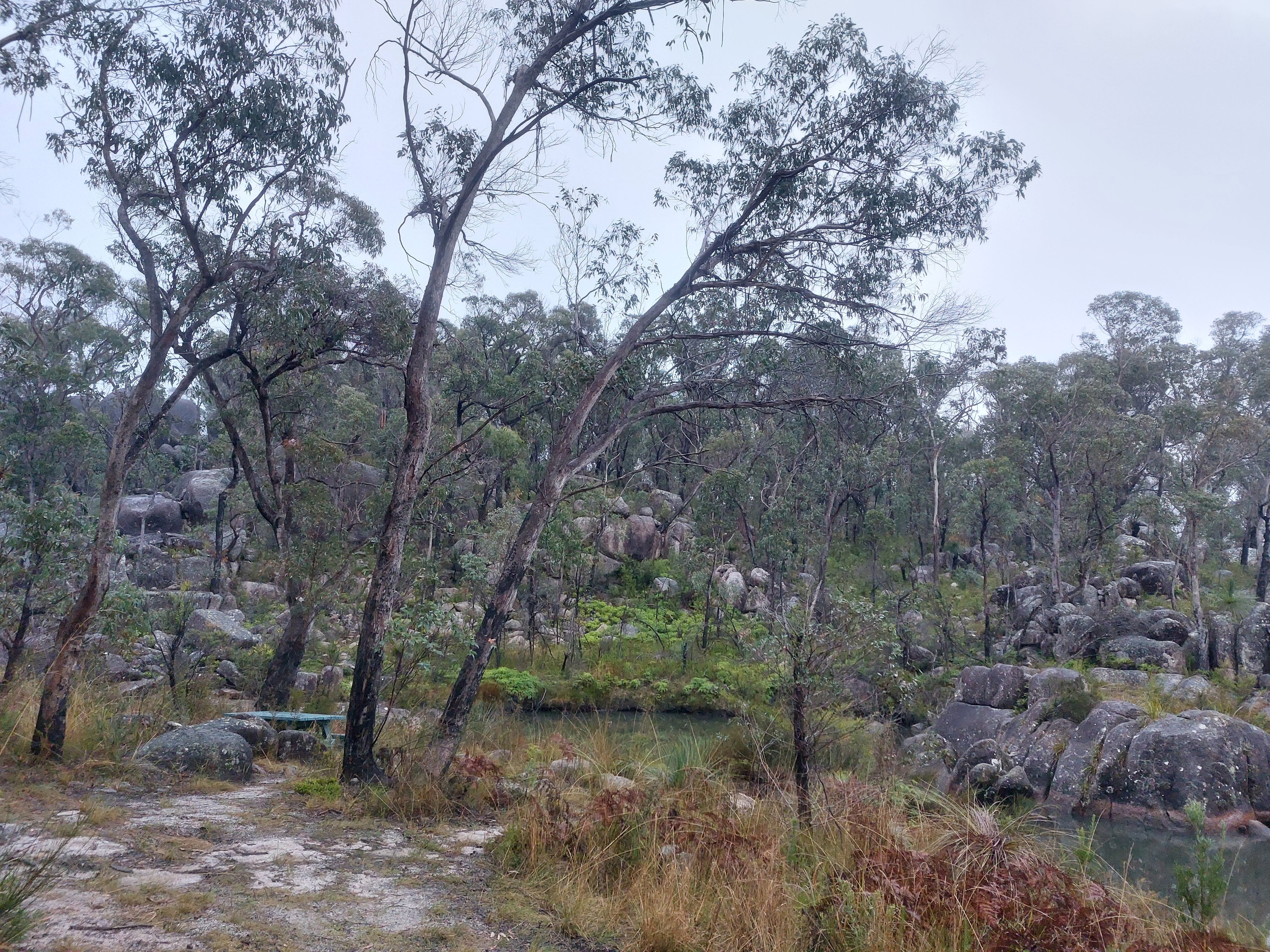
We woke up to a misty morning. Sunlight broke through the mist, looking magical as we had our Uncle Toby’s quick oats for breakfast, shivering.
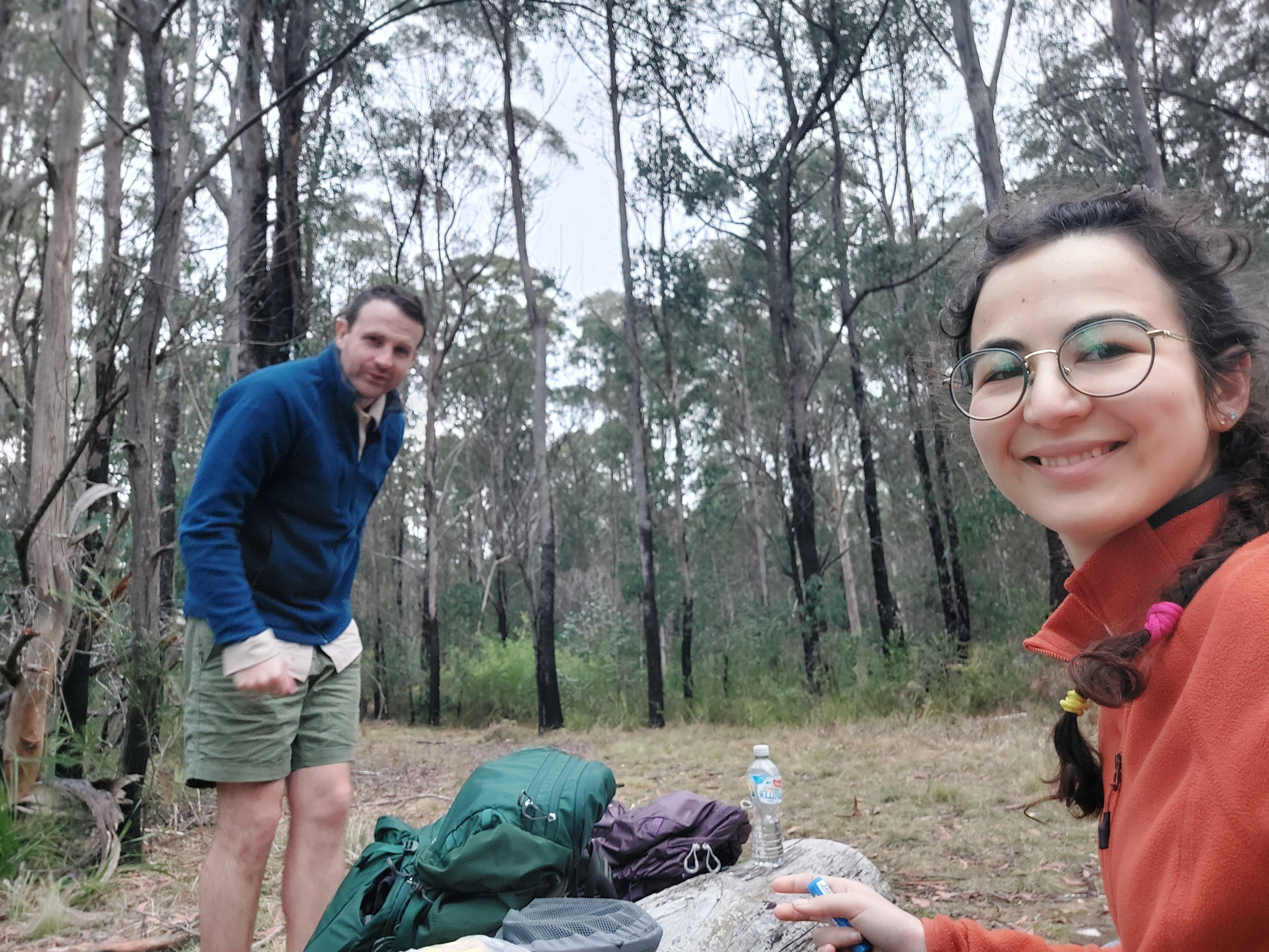
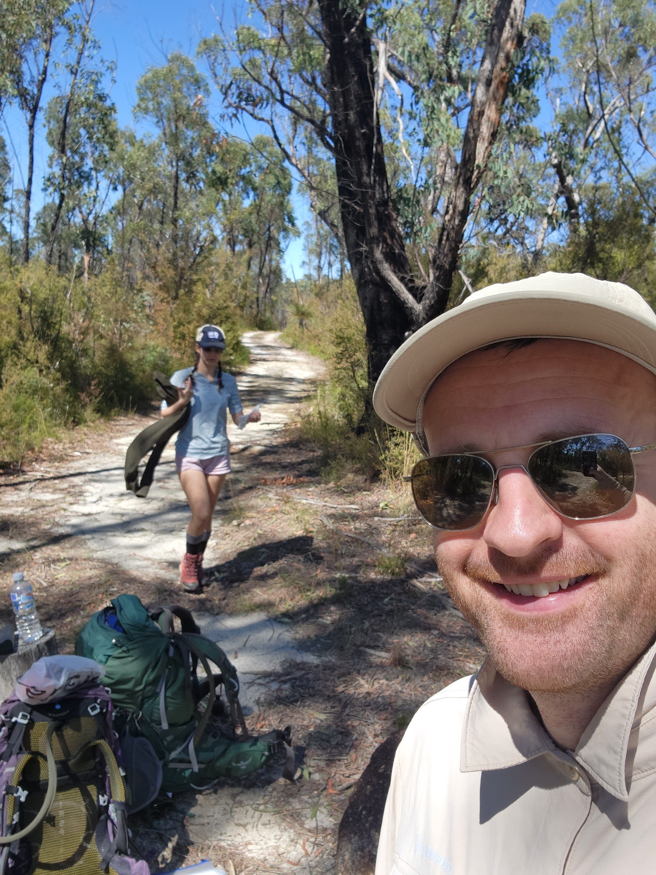
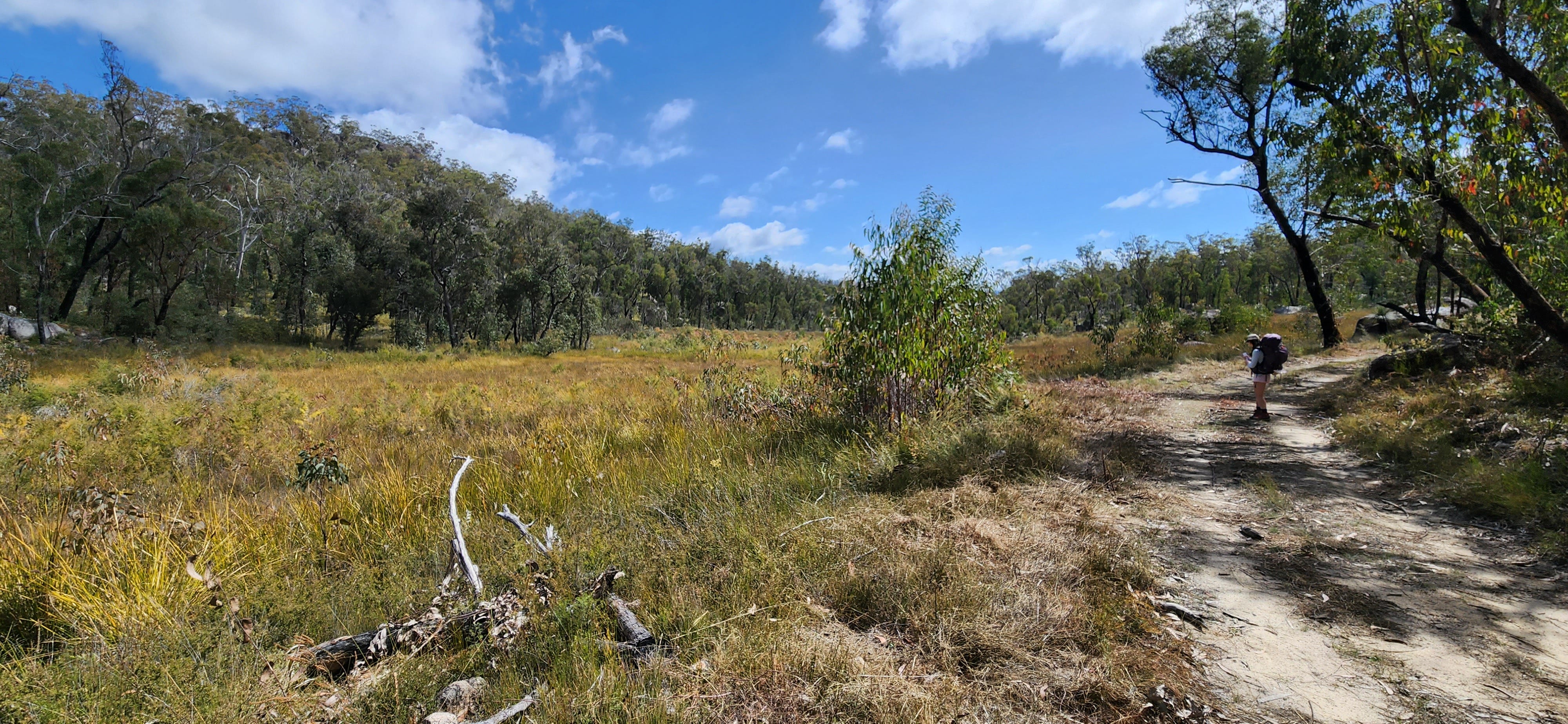
Before the hike began, we made a deal that I wouldn’t pace ahead. So until lunchtime, we had an exciting conversation speculating on the future and admired the landscape (although it was quite dry). I also explained the 'superpower' of lyrebirds found on this trail. David thought it was fascinating.
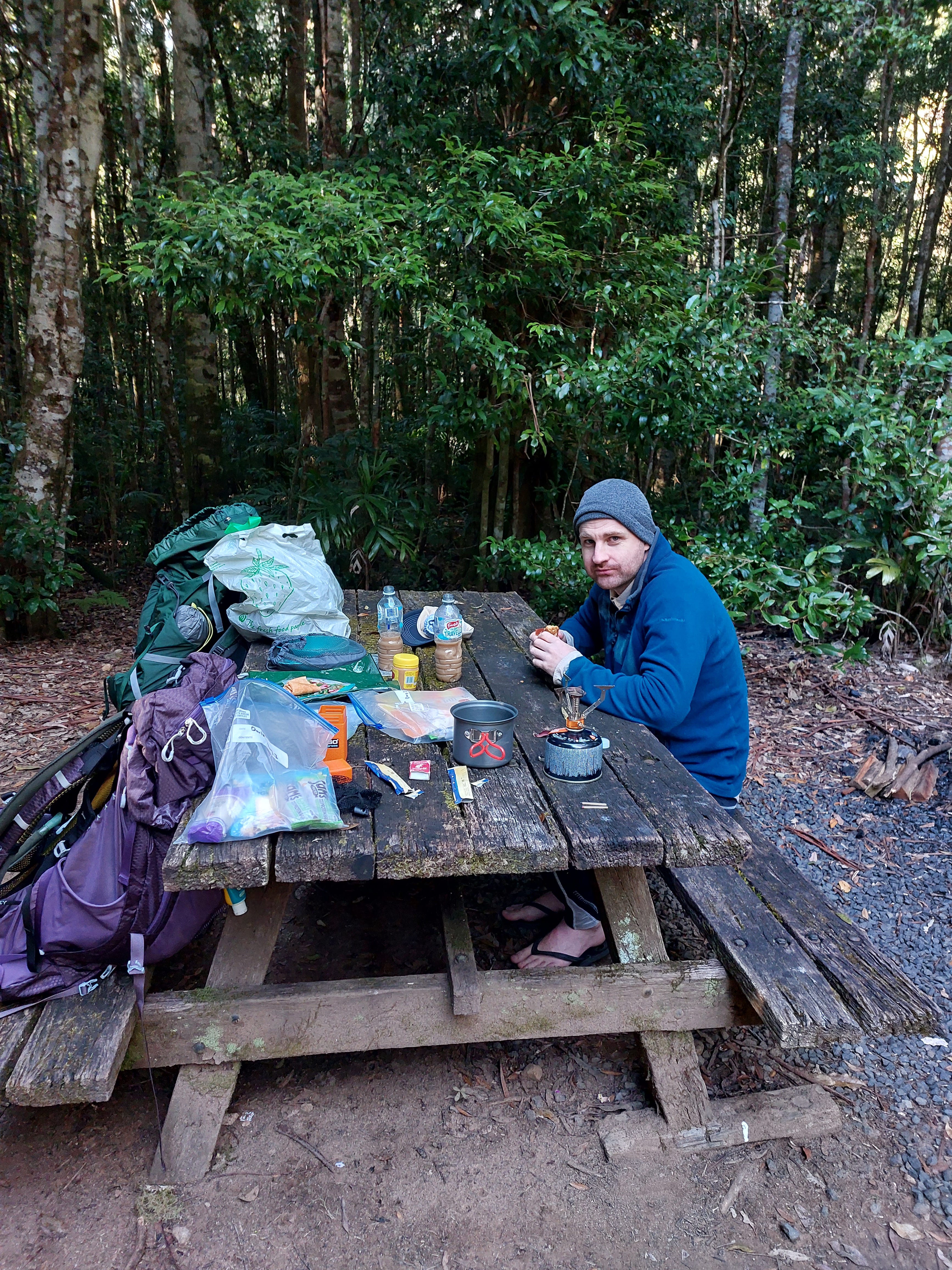
David thinks I still raced ahead; that’s his picture of proof.
There are two trail split offs before the Grassy Creek Campground. Pay attention to not diverge off, unless you are keen to do the Duffer Falls side trail (which I heard is quite a nice walk).
Lunch at Grassy Creek Campground is recommended. Having picnic tables felt like a luxury and having a good rest was necessary before the steep ascent to O’Hara’s Gap.
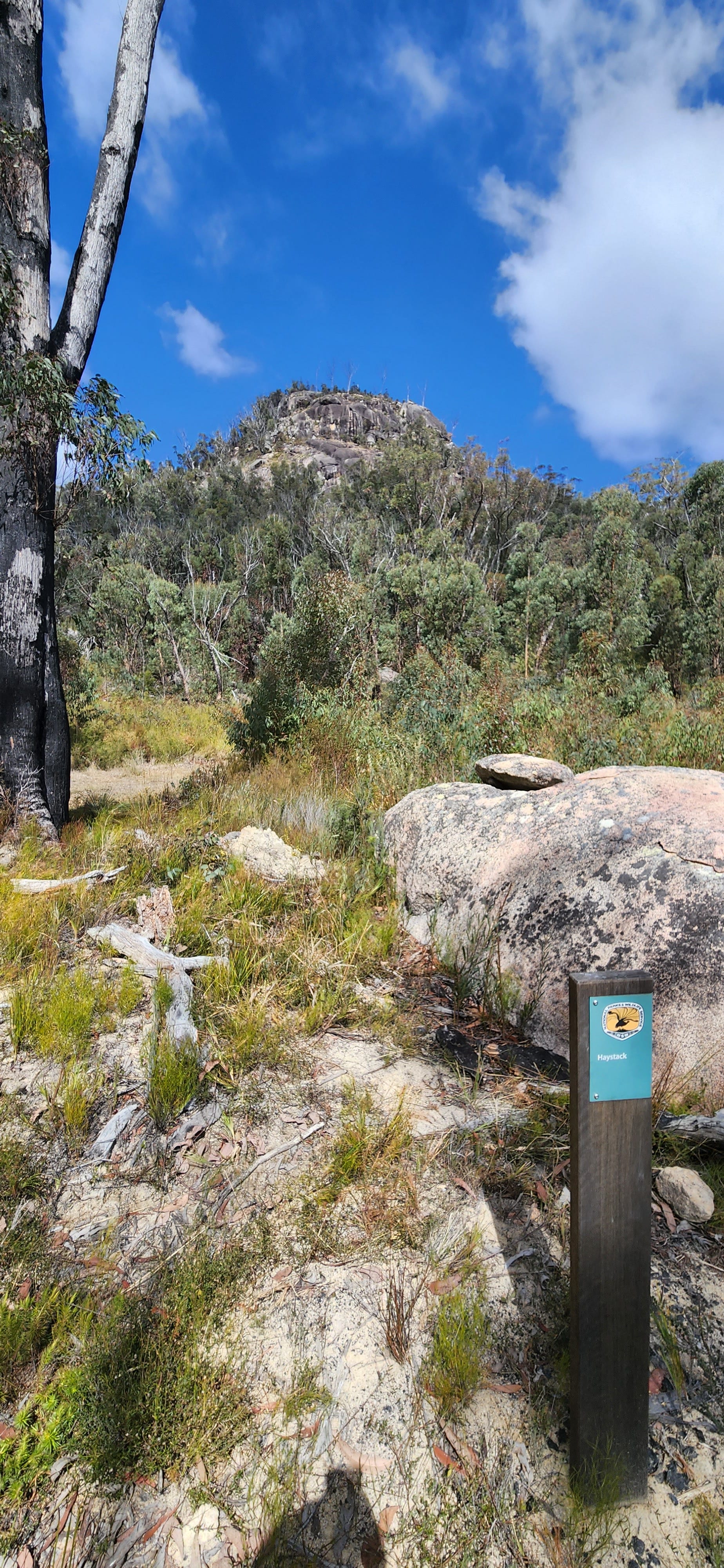
There were signs about the O’Hara Rock, so I got excited but it was just a rock. One tall heavy rock randomly sitting in the forest. I guess it was what the name said it was.
I remember multiple steep climbs lasting about 10-15 minutes and a few steep descends during day 2. Somewhere along this day, David’s right knee began feeling a bit off. He slowed down on the way to the campground as a precaution.
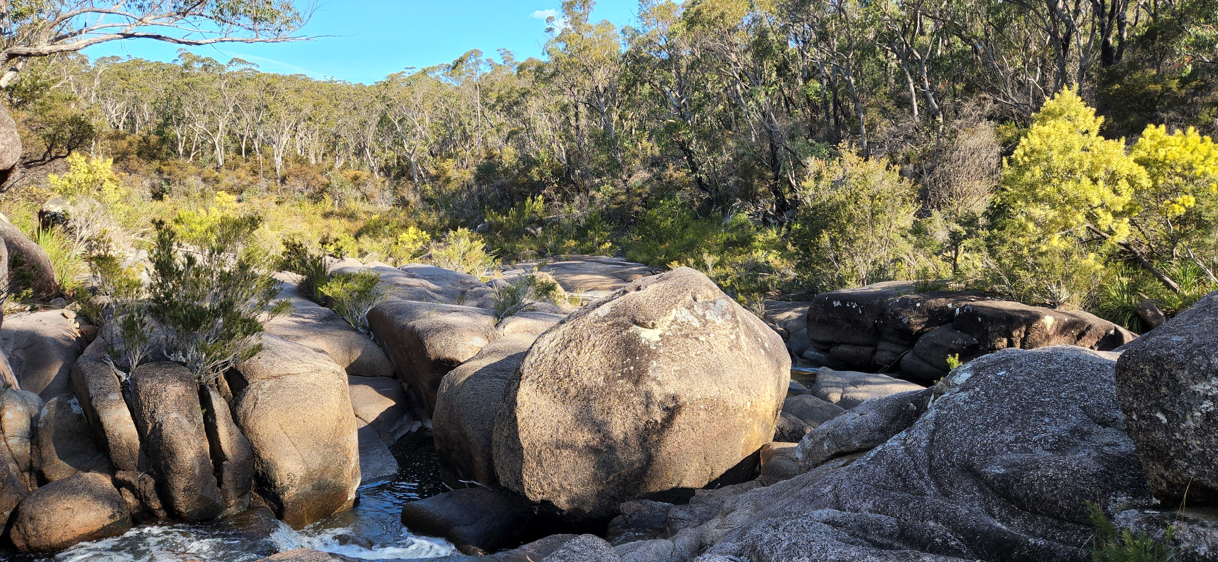
The track slowly evolved into a rainforest. I think what makes this trail unique is how it joins different Australian landscapes into a big loop. It has everything you want; eucalypt forests, rainforests, wetlands and granite tors.
Bellbird Campground is the first and the closest campground. We booked for a tent spot in Coombadjha Campground which is about 1km further ahead, so we pushed on. The signs are very clear on this trail, so it’s hard to get lost.
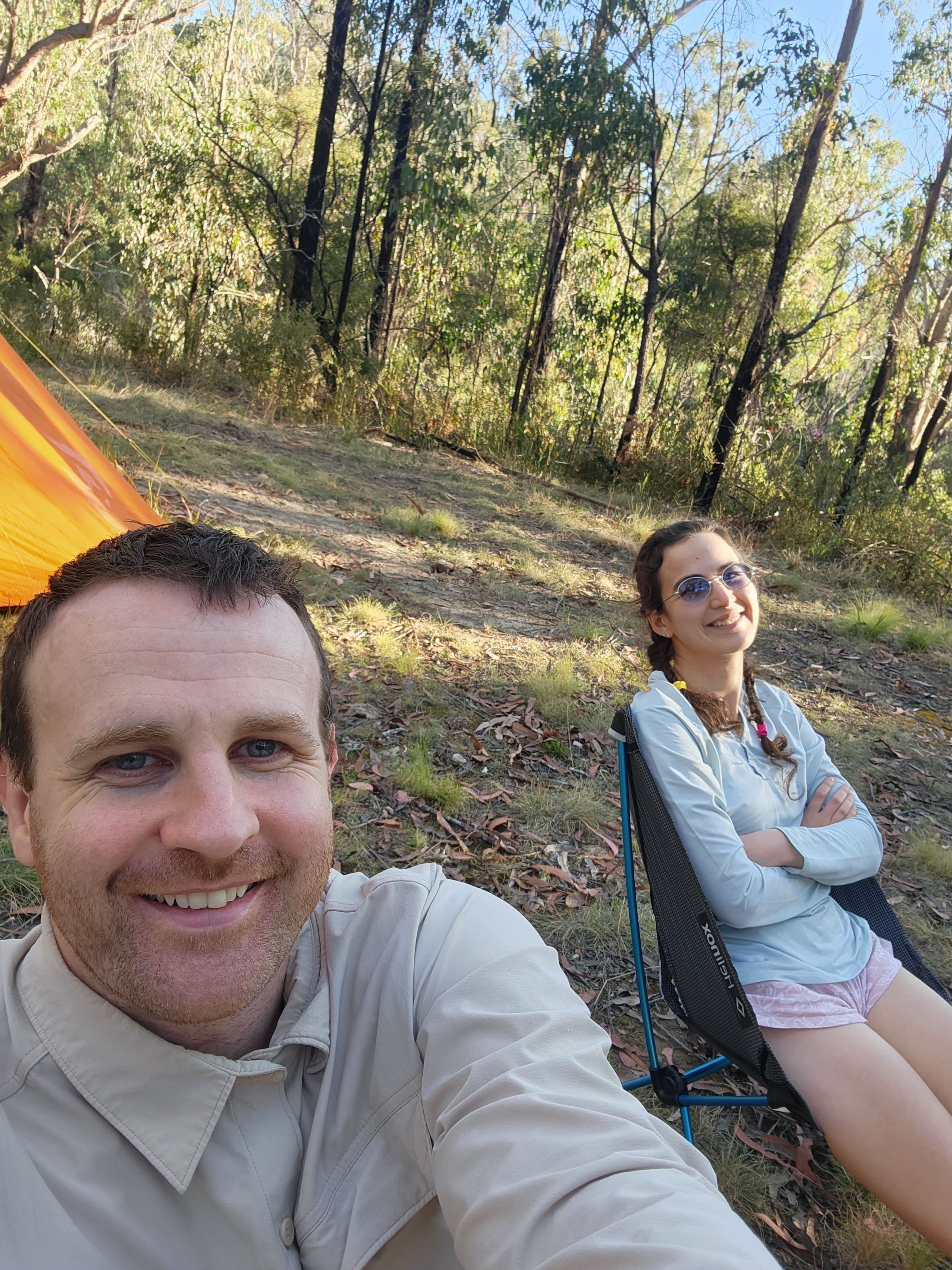
Another very nice camp spot with toilets and picnic tables. We had a comforting soup again. Laying down in the tent, I remember feeling my legs ache and wondering if this was normal. Was I really pacing ahead too much? Or was this the hiking life? Fast forward almost 2 years, I now realised and accepted that aching legs were an inevitable part of a hiker’s life.
Day 3: Coombadjha Campground to Mulligan’s Hut Campground
11.5 km, approx 4 hours
David woke up grumpy, unrecovered from the day before. This was going to be our shortest day, so we had a slow breakfast. Peanut butter on a wrap with oat bars and coffee in the morning to cheer him up. Sugar always helps.
The hike began following fern trees and eventually transformed into a rainforest. We came across lots of birds. It was all so pretty that I got dreamy and began racing ahead. The track is a constant uphill for over an hour.
On the way, you’ll cross the road and pass a few side trails (Walk to the Needles, Tree Fern walk etc). You may also see some mountain bikers. After about two hours, I saw an older gentleman with a red and sweaty face, huffed and puffed, walking over a bridge.
He gave a bow and said, “good afternoon young lady, where are you coming from?”
I had a big excited smile on. “The Coombadjha Campground.”
Him: “You’re doing the full loop?”
Me: “Yeah!”
He had a shocked expression. “By yourself?”
Me: “No. With my partner. He’s just lagging behind cause his knee hurts. Don’t worry, he’s ok.”
My enthusiasm scared him. I probably came across as a weird energetic girl. I sat down on the bridge, watched the fish swim by, and noted that this could be a perfect spot for lunch. When David arrived, we opened up our tuna packets.
David: “Woman, you have too much energy. You were like an Olympic Walker going for gold medal at the Mulligan’s Hut.”
At least his knee was feeling better. We were quite close by that point, less than 2km away from the campsite, so we took our time on the bridge.
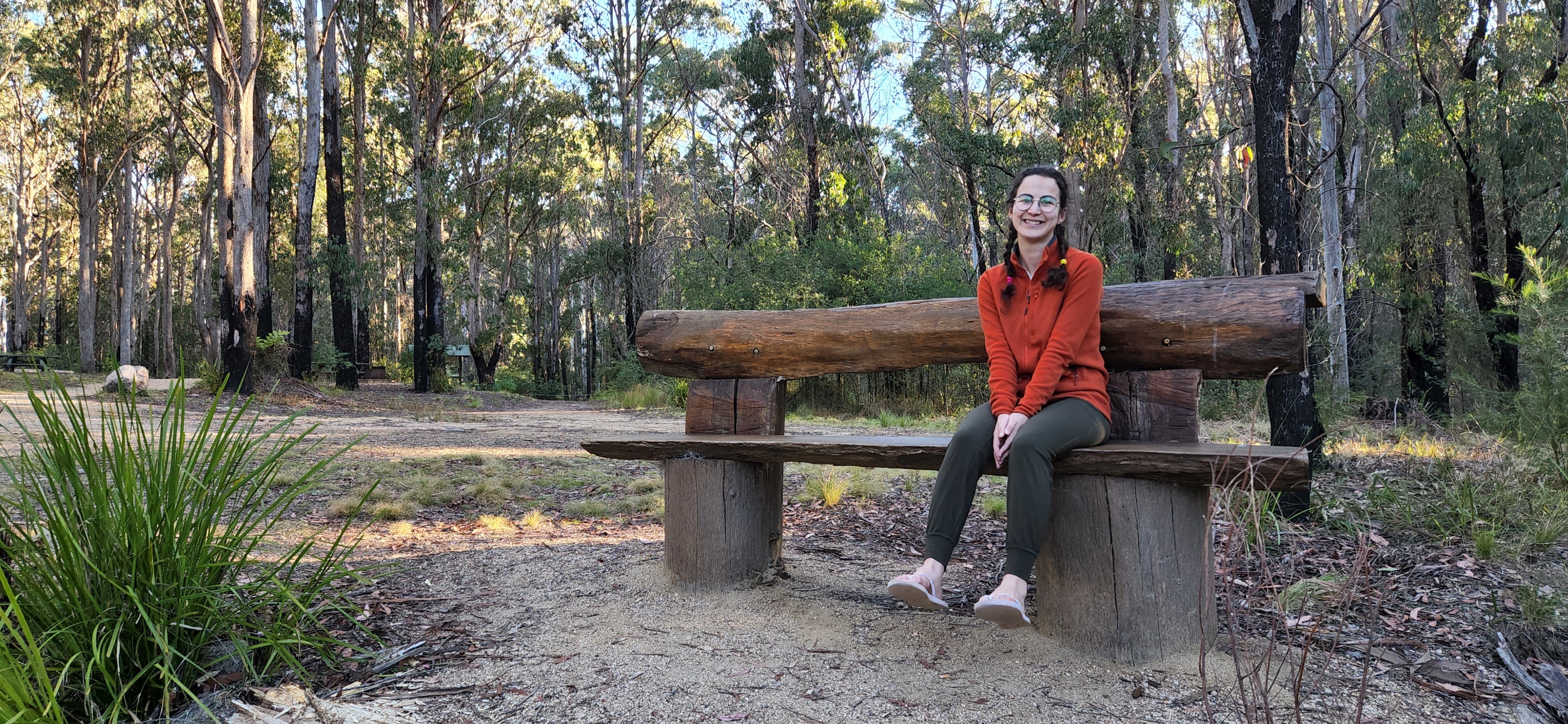
As we arrived at Mulligan’s Hut Campsite, the weather began closing in with cool winds. We got the bag’s weight off our shoulders, sat up the camp, and wandered down to the Little Dandahra Creek. There were a few families drying themselves and leaving the creek. I was so keen to take a dip but it got quite cold, so we explored the rocks and then took a side trail for more exploration. I guess I still had a bunch of energy in me.
Noting that this campsite was the biggest on the trail. It was popular with families. It even had shower blocks.
We shared couscous and checked the weather forecast. Surprisingly, we had a good internet connection there. Rain was showing from midday onwards the following day, so we made a game plan before falling asleep.
Day 4: Mulligan’s Hut Campground to Platypus Picnic Area
6.6 km, approx 3 hours
We woke up at 5 am, determined to miss the afternoon rain. After being dry for 3 days, it would have been annoying to get soaked just before arriving at the Jeep. We packed the tent in the dark and held our phones and torches in our hands for some light.
The hike began on a curvy gravel road going uphill, so we were alert of any passing vehicles. Afterwards, the trail was quite easy, mostly flat. We snacked on some lollies along the way to keep ourselves sharp.
By the time we took a right turn to the side trail which would take us back around the Little Dandahra Creek to the Platypus Picnic Area, it began raining. We picked up the pace. Soon, the rain turned into showers and forced us to slow down.
The ground was becoming mushy and soggy due to the sandy base. But we made it to the toilet blocks of the car park. David ran to the Jeep to grab clean clothes. We changed and jumped in the Jeep for a drive to the nearest coffee shop. Yes, once we’re out of a trail, we go back into our luxury ways (3/4 almond flat white and a large flat white).
It always feels great to finish a hike in one piece. David’s knee was fine in the end. Recovered fully by the following day. Overall, I think we overestimated the difficulty of the hike due to the Grade 4 rating and the 4-day duration. This also had an impact of overestimating our required calorie intake, as we packed too much food.
Great fun hike! Even though it was about 7-8 hours out of our way, I’m glad we did it.
Questions: if you have any questions about my notes, drop a comment (or send a message) and I’ll reply.
Thanks for reading! Subscribe for free to receive new posts and support my work.