
Exploring Mt Kosciuszko (Guide to the Day Hikes)

Living in Sydney, one of our favourite places to hike has been the Mt Kosciuszko area. It's got a “tourist town” nearby called Jindabyne which is about 5 hours 30 minutes (manageable drive) and overly priced (the expected from such locations).
The region has horse riding tours (very cool), quality places for wine and beer (though we don't drink anymore), kayaking routes (love that), mountain biking routes, plenty of cave tours (seasonal and very cool), thermal pools (highly recommend), and of course, lots of hiking trails. If you enjoy snow sports too, this is a 4 season outdoor adventure location for you.
There are nice camping options but the few we’ve tried were on very rocky ground for pitching a tent (we still made it work). Most, if not all, campsites have a long drop, excellent views of the night sky with glowing stars, and friendly furry visitors (we’ve seen quite a lot of wallabies). However, they are very crowded and seem to be done on a system of, first come first served.
Here are some places we explored over the last 3 years in Mt Kosciuszko.
Side note: due to the great condition of most of the trails in the region, I always thought it would be wonderful to complete them as trail runs. It's on my to-do list, along with a few other difficult day hikes.
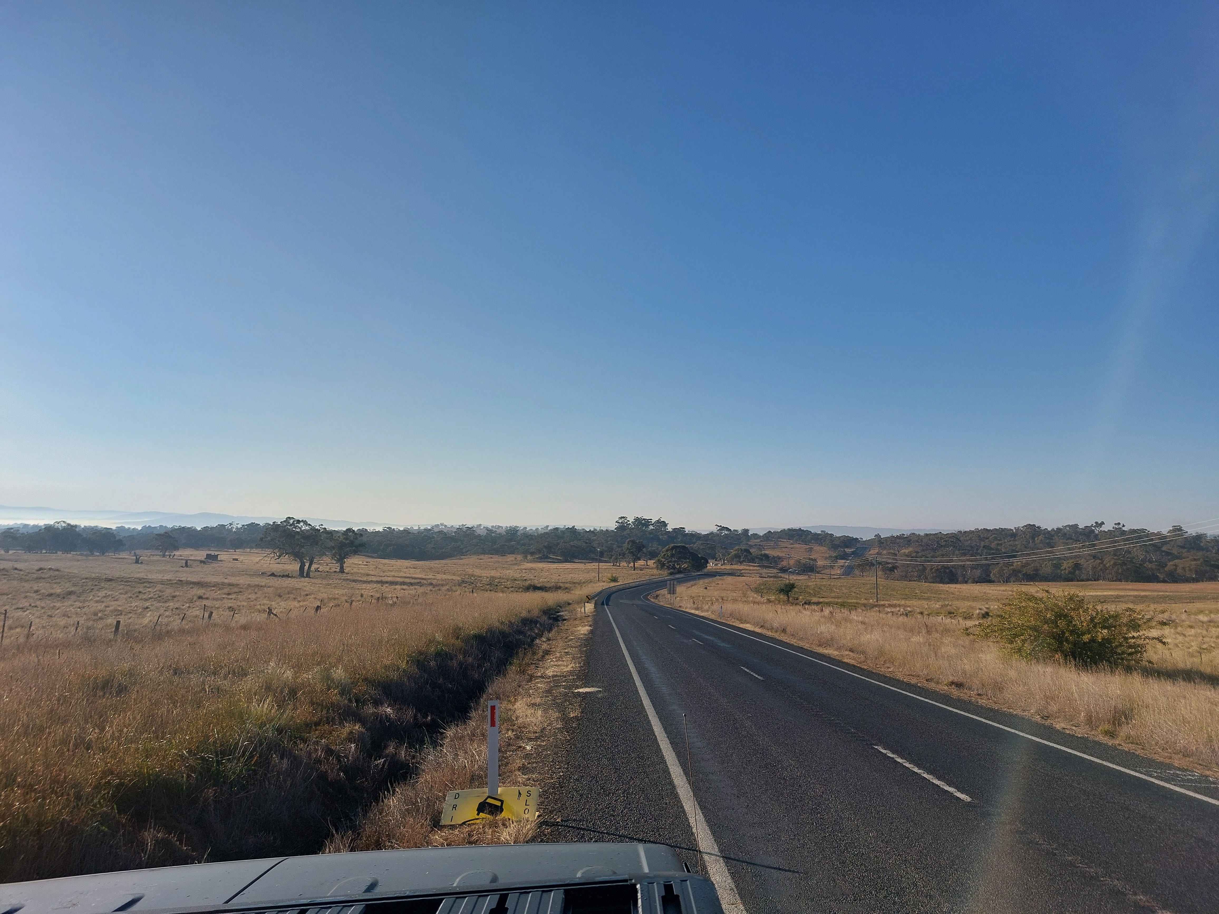
On the road, trying to spot the emus.
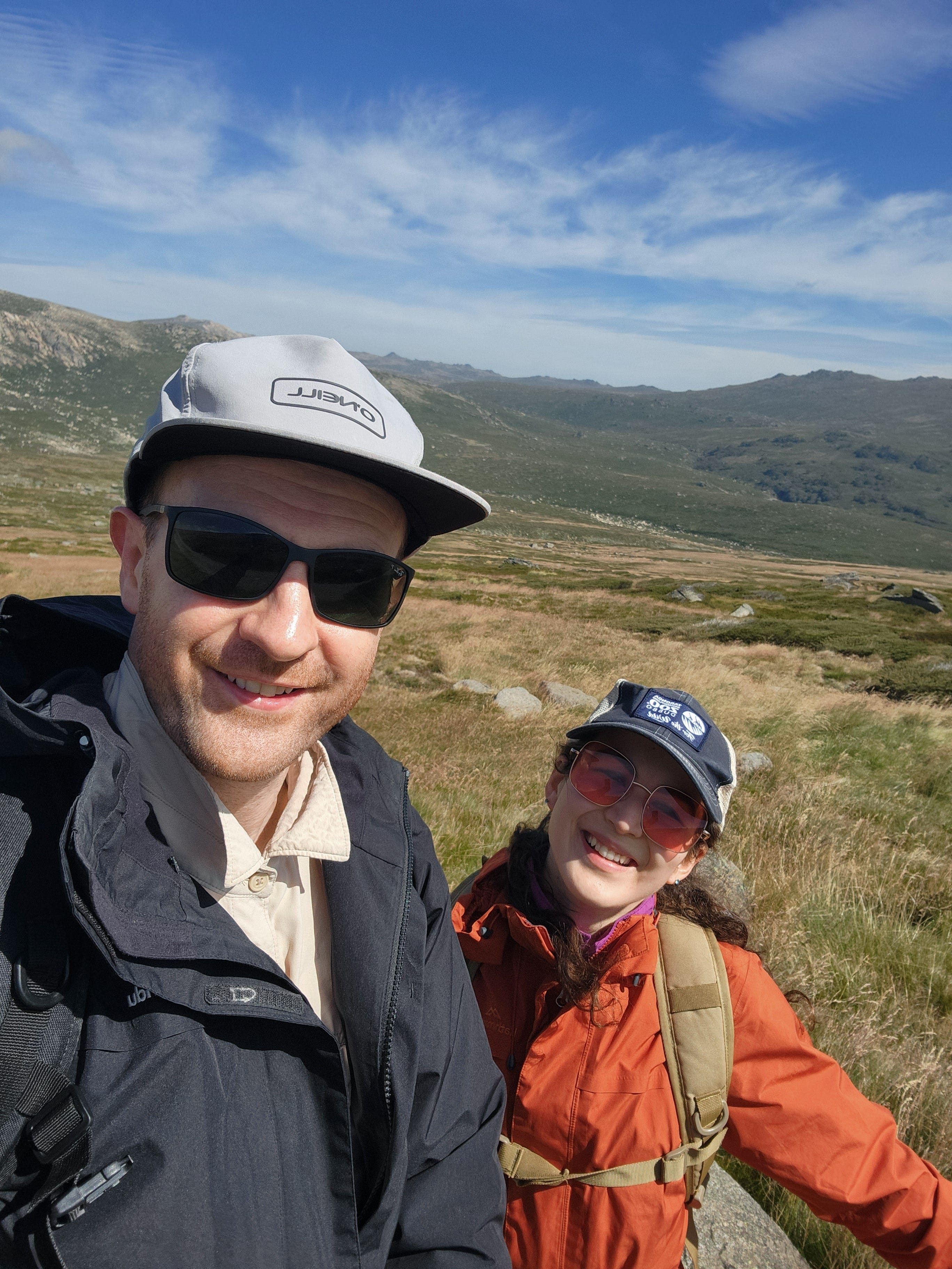
Kosciuszko walk - Thredbo to Mount Kosciuszko
Grade 3 - 13km return - suggested time is 4 - 5 hours by the NSW National Park website.
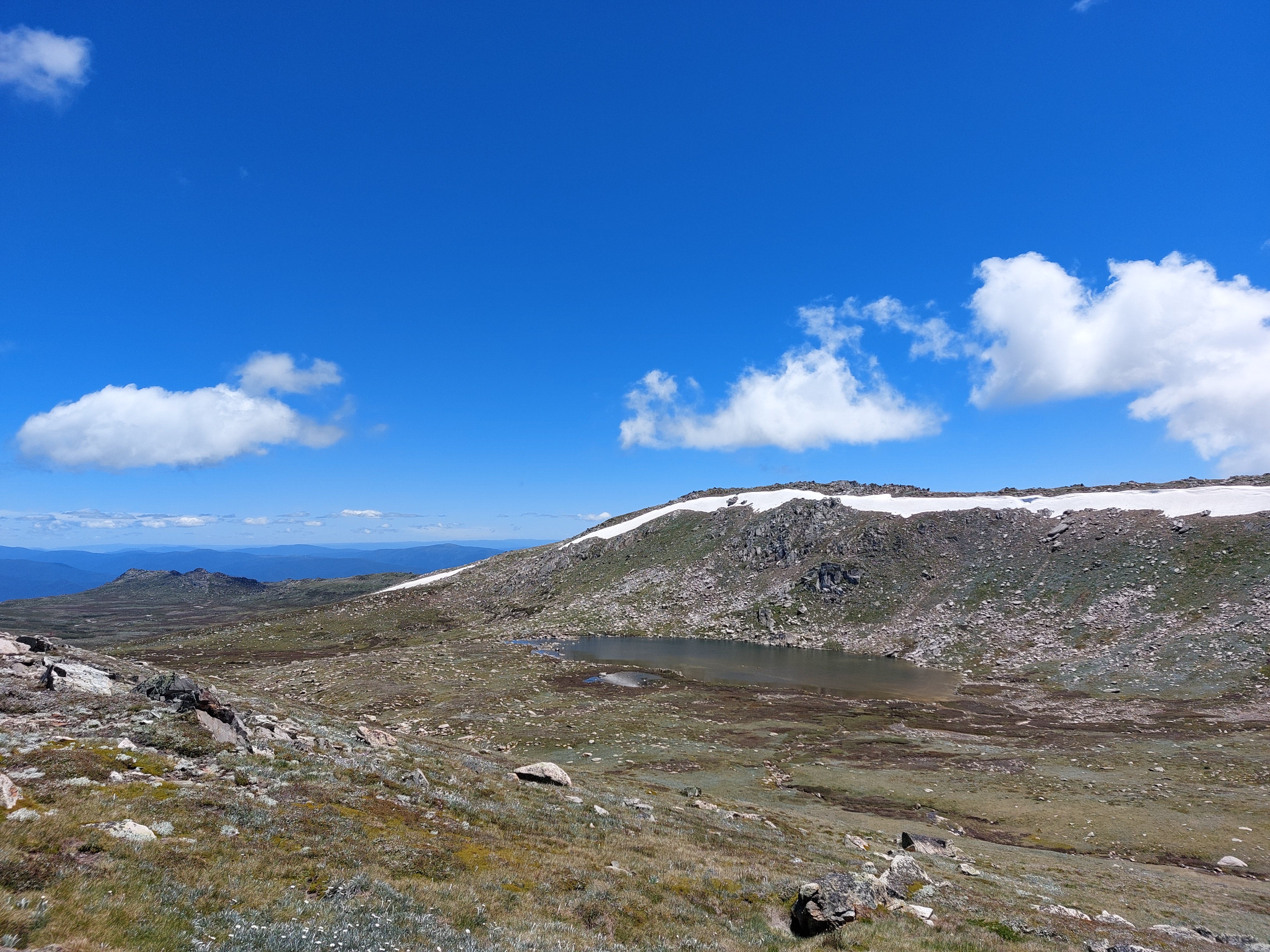
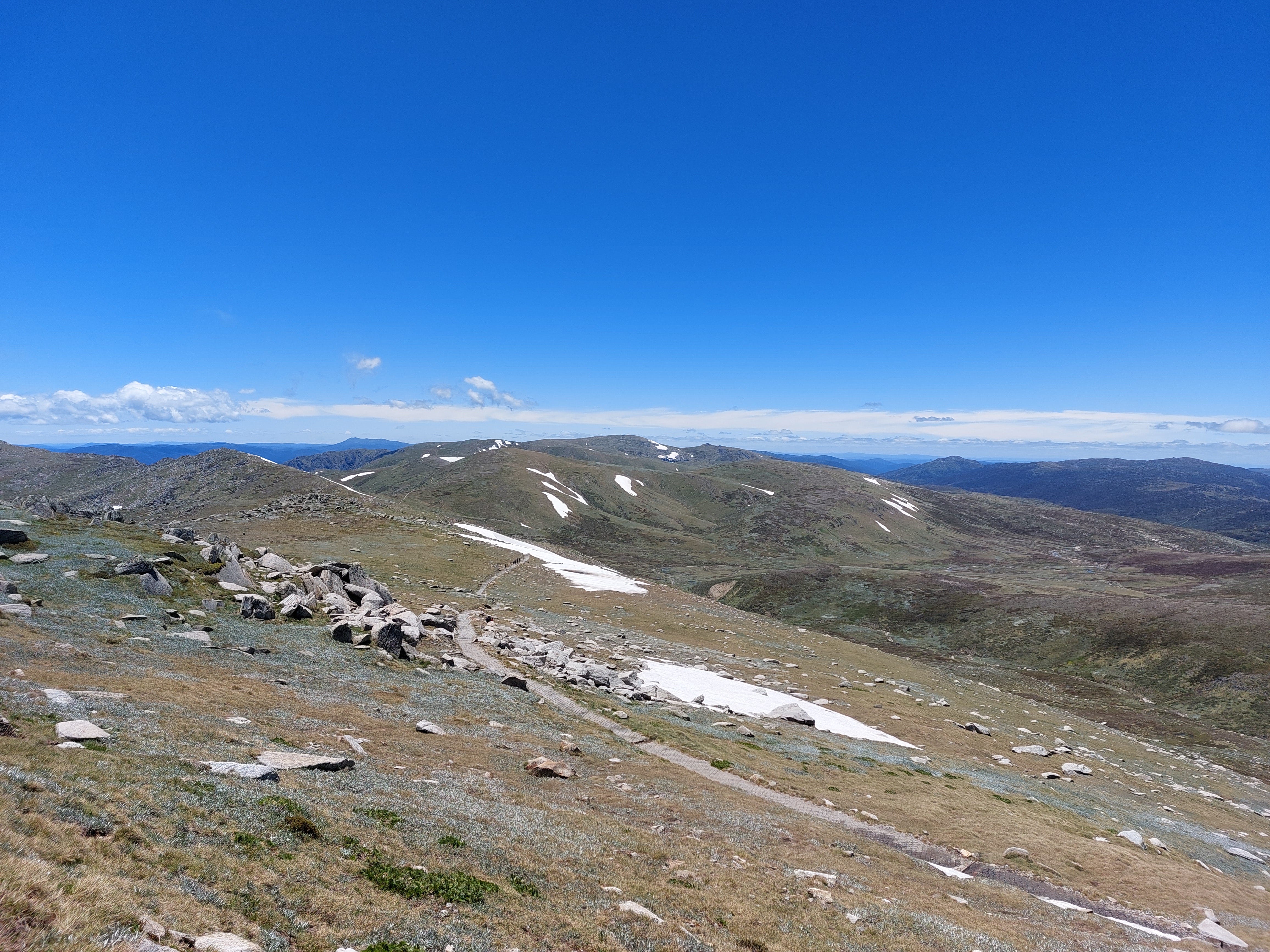
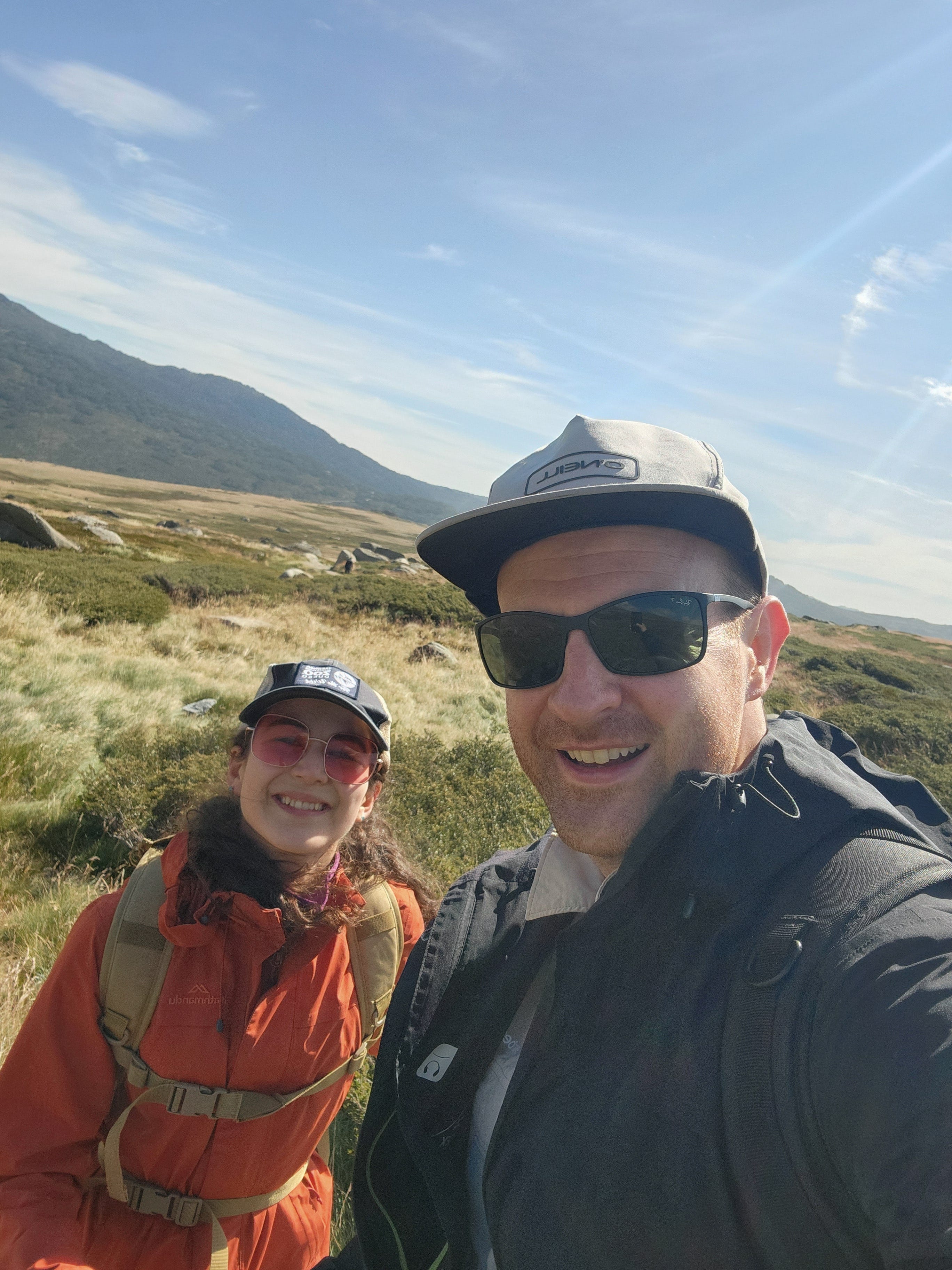
This might be the most iconic hike in the region. It starts from the top of the Kosciuszko Express Chairlift. It was a lovely 15-minute ride. We completed it in late December 2022, when we were very unfit and inexperienced but very excited to get into this hiking business.
Very well-maintained trail with information signs, steel walking platforms most of the way and gradual/slight climb -- we could tell this was a touristy walk. The way to the summit was packed with domestic and overseas visitors of all ages. A beautiful day hike to do with young kids too.
The views are amazing. I love Alpine regions; they always have this harsh look, which is thrilling. Despite the fact that it was the middle of summer, we still saw large chunks of snow covering the tip of the mountains ahead. We even got to touch a bit of the snow piled up a the side of our trail. Something to note; watch your foot and don't slip.
Yes, it was cold. We were hiking quite fast (honestly did the whole trail in 3 hours, including our lunch break, and I swear we were unfit during that time) and the sun was shining so bright, but we still shivered. It was very windy too. The elevation plus the wind gave me an earache which was super annoying. Something to note; bring a beanie or something to cover the ears, and a light jacket or a windbreaker.
Despite all of that, the silly us got sunburnt. Seriously burnt. We were all wrapped up to avoid the cold and the wind, but our calves were exposed. We were red and spent some time in the bathtub afterwards. Ouch! Last thing to note; wear sunscreen and sunnies (it was very bright).
Going all the way to the summit was cool (that's where we had lunch), but it was not possible to grab good landscape pictures due to the crowd.
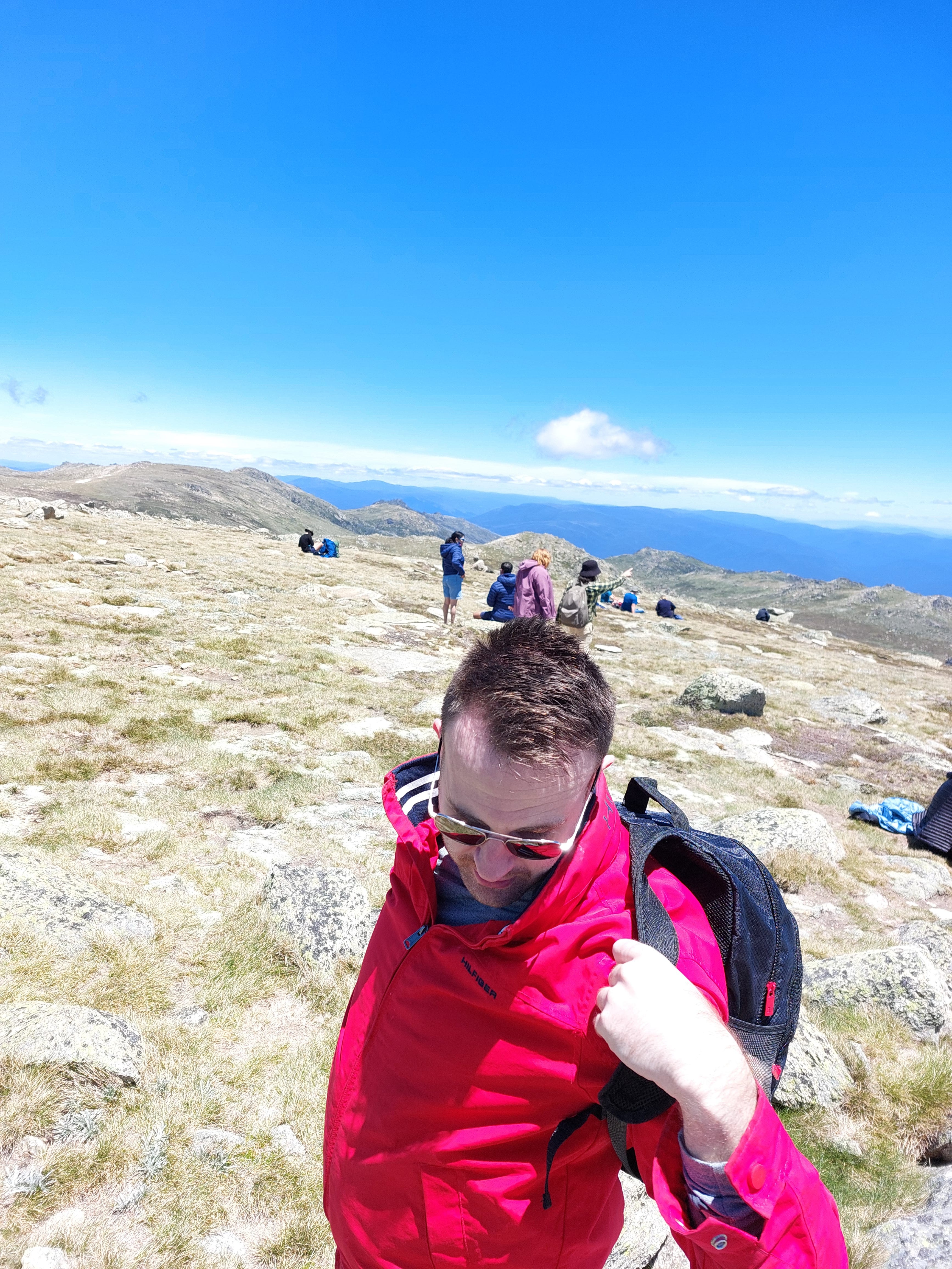
Overall, fun hike! It might be the 3rd best hike we’ve done in the region (only because it was overly crowded).
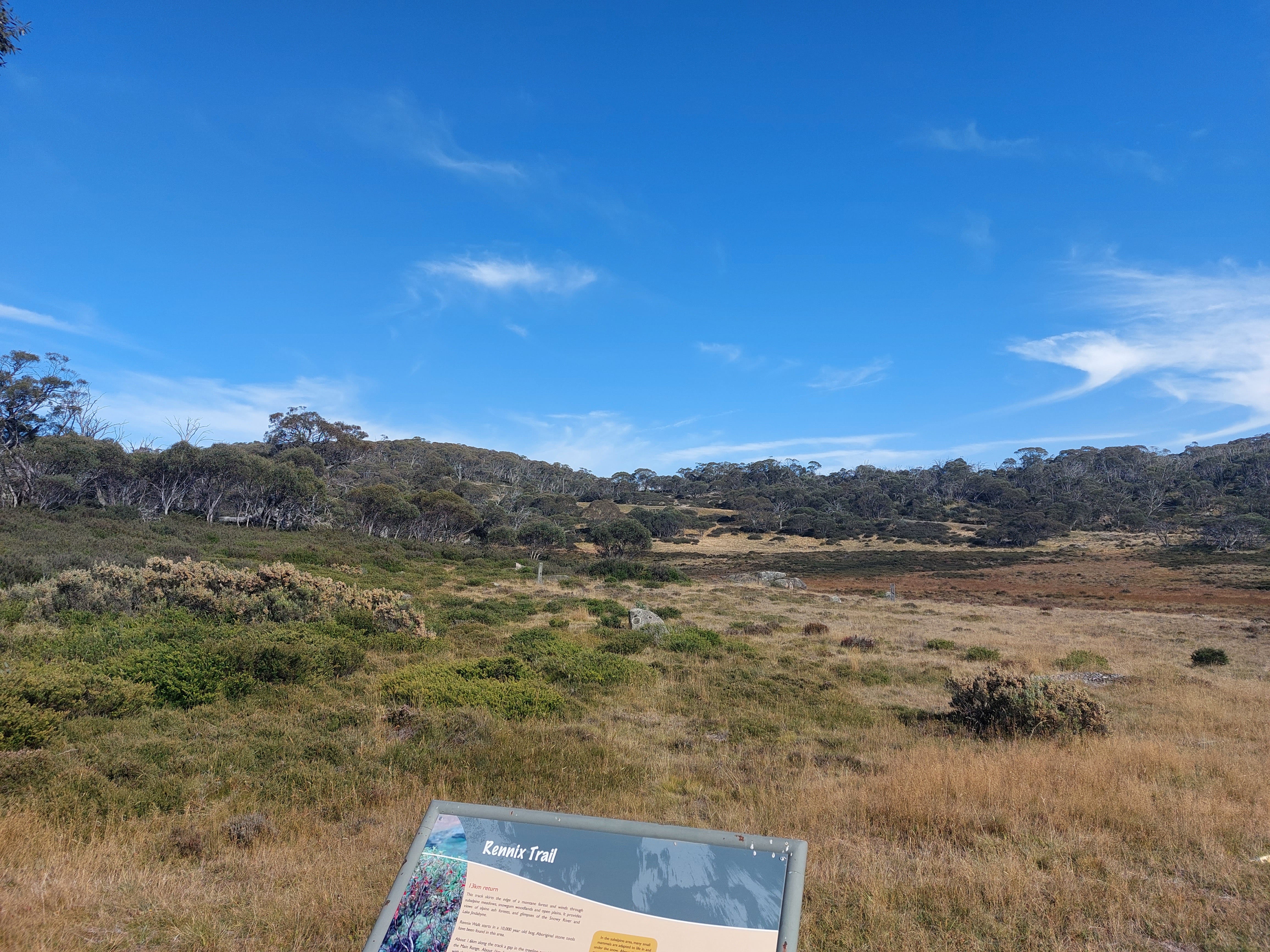
Rennix Walking Track
Grade 3 - 13km return - suggested time is 4h 30 min - 5h 30 min by the NSW National Park website.
We completed this hike in March 2024. I remember downloading a bunch of songs on Spotify and playing them along the way. We also brought some snacks for a nice picnic at the halfway mark. That was an excellent idea — highly recommend.
It was quite dry with a mix of brown bush and long grass (a bit of a fire hazard we thought). Constant climb up to the Giant's Castle, which will get your heart beat up and body warm. We saw a black baby snake on the way, which was cute (in retrospect) but I still let out a short scream (my reflexes).
I didn't think the journey up was particularly beautiful. It was like a wide and curvy fire trail with lots of grass. However, towards the halfway mark, things got interesting. A bit of rocky and steep terrain got me excited. Soon after, we saw a Bouldering pathway up to the "Giant's Castle." I am not sure if we actually saw a "castle" so don't get your hopes high. However, we did see a lovely sunset view.
We saw nobody on the trail and completed it in 3 hours and 45 minutes, including an afternoon tea. Trails like this are gems because Mt Kosciuszko really gets packed with explorers.
Nice trail, peaceful, and good for a sunset picnic, but wouldn't do it again.
Pallaibo walking track
Grade 3 - 11km return - suggested time is 3 - 5 hours by the NSW National Park website.
We completed this hike in March 2024. It was easy, fun and scenic — a lovely place for a picnic with a river view. We saw a family fishing by the river, so if you’re into that, might be a nice spot.
The track begins at the Sawpit Creek picnic area, so it joins up with the Sawpit walking track, which we completed after this hike. If you want to tick off multiple short hikes in a day, this is a good spot to drive to.
I remember seeing a variety of small birds and beautiful wildflowers throughout the trail, and later finding out that this was the go-to spot for wildlife photographers and bird watchers. We passed two small waterfalls as well.
The trail was through a well-maintained eucalyptus forest with mostly flat terrain. Might be a good one for trail running actually. We only encountered 2 other hikers on the trail and completed in 1 hour and 10 minutes, then had some lunchtime snacks before starting the next hike.
People we spoke to afterwards said that the hike was much better than what they expected. I would agree with that statement.
Sawpit walking track
Grade 3 - 2km loop - suggested time is 45 min - 1 hour 15 min by the NSW National Park website.
We completed this hike in March 2024, after the Pallaibo track. Both tracks share a similar route in the beginning, then diverge off. It was short and not very interesting (maybe because we completed it after the Pallaibo track).
We completed it in 40 minutes. Might be a good one for trail running.
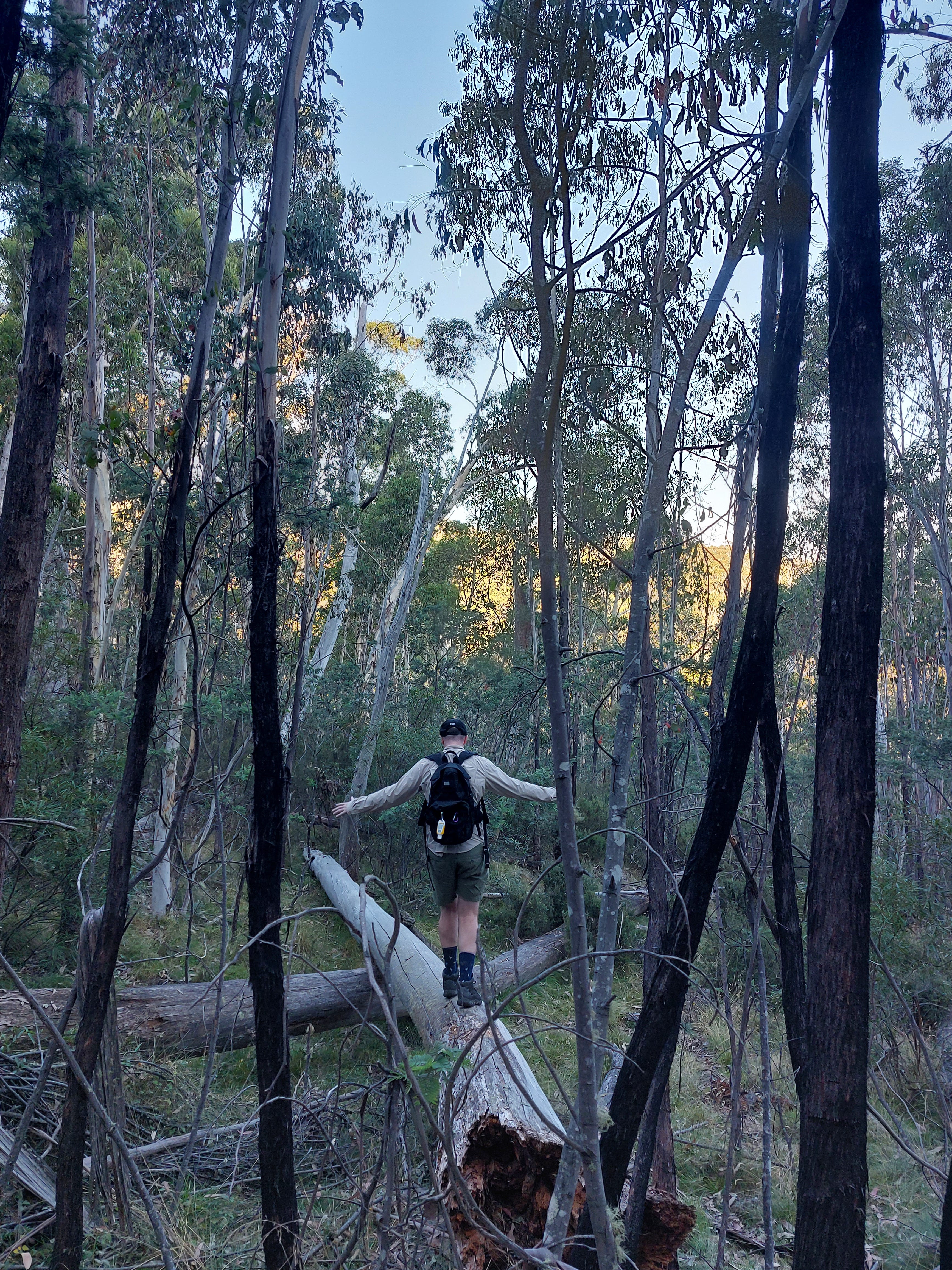
Waterfall walking track
Grade 3 - 6km loop - suggested time is 1h 30 min - 2h 30 min by the NSW National Park website.
We completed this hike in March 2024, after the Pallaibo track and Sawpit track. At the start, we walked under a short tunnel (or a road). Graffiti - classic. Then, we headed straight into a eucalyptus forest with wildflowers.
The first half of the trail is a slight uphill walk, but well-maintained and relatively flat terrain. The waterfall is hidden behind the tall trees. But once you get close enough, you’ll step on a metal platform, then hear the peaceful sounds of the water crashing into the rocks and falling into a stream.
Fun fact that we learned after completing this trail. ⬇️
Scribbly Gum: “a native Australian eucalyptus tree which is easy to spot because of the distinctive markings along its smooth yellow-grey trunk. These zig-zag tracks or 'scribbles' are made by the moth grub as it tunnels between the old and new bark. Every year when the tree sheds the old bark, new markings are revealed.” (NSW National Parks website)
Overall, it was another fun, easy and scenic hike. We completed it in 40 minutes. Might be a good one for trail running as well. I wish we had taken some pictures!
Yarrangobilly Caves Thermal Pool walking track
Grade 4 - 1.4km return - suggested time is 30 min - 1 hour by the NSW National Park website.
We completed this hike in March 2024. It was cold. This is an alpine region; we were wearing long sleeves, and yet, we somehow thought it was a good idea to swim. The word “thermal” must have captured our interest.
It was an easy drive to the tourist information centre, which was packed with people wanting to sign up for the cave tours. I don’t often say this, but the visitor centre was quite good with food options, lots of guides and information, tour packages, and nice souvenirs to buy. We bought a cave-shaped rock the size of my palm with purple crystal formations inside.
I get why this trail is rated as challenging; it’s a steep constant 0.7km downhill on rocky but relatively flat terrain (like a fire trail), then all the way back up. At the same time, it wasn’t really hard due to how short the distance was to the thermal pool. The trail resembled a mobility training route for the knees and ankles because my biggest fear was slipping and taking a tumble down to the pool.
I didn’t really know what to expect, as I haven’t been in many thermal pools before. But I did expect the pool to be reasonably hot. Well, it felt warm-ish, so I didn’t have difficulty getting into the water, given how cold the outside temperature was. But it certainly wasn’t an inviting hot tub. In fact, if you didn’t move around, after a while, you will feel cold. If it sounds like I’m complaining, I did enjoy the experience and thought it would be quite nice to come here during winter (if the walking track isn’t covered in rain, snow or ice).
The main pool is 20m long and 2.5m deep. There were four or five other people in the pool. The design was very nice, as the water flowed down (like a waterfall) into a children's pool. There was also a picnic area, changing rooms and bathrooms nearby. Lovely place to take your reading book, enjoy the sun and chill.
Admitting, I lied; we did not finish the trail. Instead, we saw a sign that read, “Yarrangobilly River Walking Track.” So after changing back into our clothes, we decided to continue and explore another track.
Yarrangobilly River walking track
Grade 3 - 3km loop - suggested time is 45 min - 1 hour 15 min by the NSW National Park website.
We completed this hike in March 2024, after taking a swim in the thermal pools. This was quite a picturesque hike, so we stopped along the way for pictures and spent the full hour exploring.
The first half of the trail followed the Yarrangobilly River. It had a calm flow and a glow from the sun’s rays. Despite how bright the day day, that water looked almost icy cold. My efforts of capturing the king parrots on camera were unsuccessful. They were beautiful but hidden between the leaves.
We then turned right and began a constant climb up a rocky terrain. This is where we came across 3 other hikers and noticed the Castle Cave walk. We walked around the large boulders, found a cave and poked our heads in as two curious people.
The trail joined the main road soon after and we walked for about another 10 minutes to find the Jeep. It was a short and lovely trail.
This might be the 2nd best hike we’ve done in the region (especially when combined with the thermal pools experience).


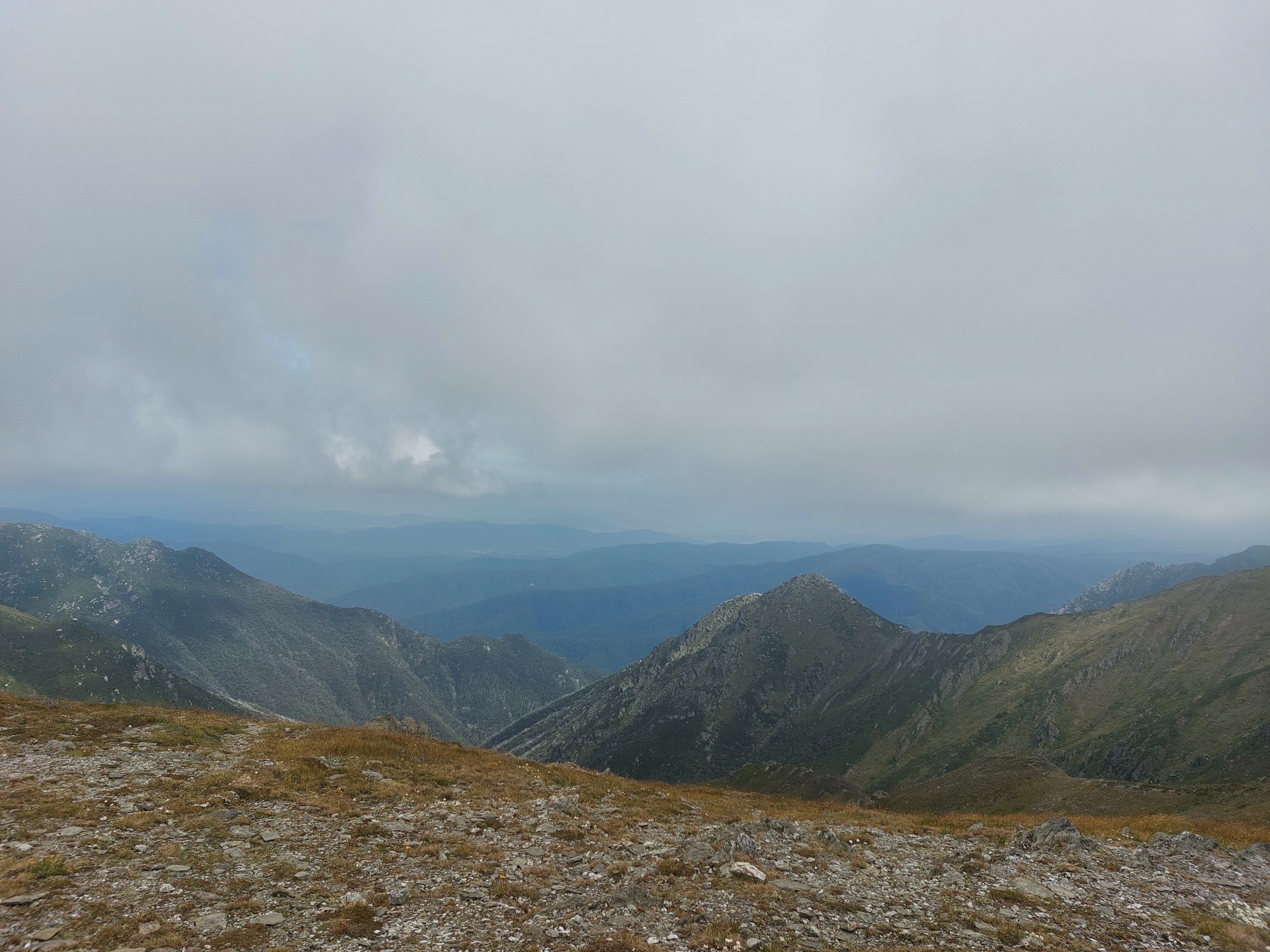
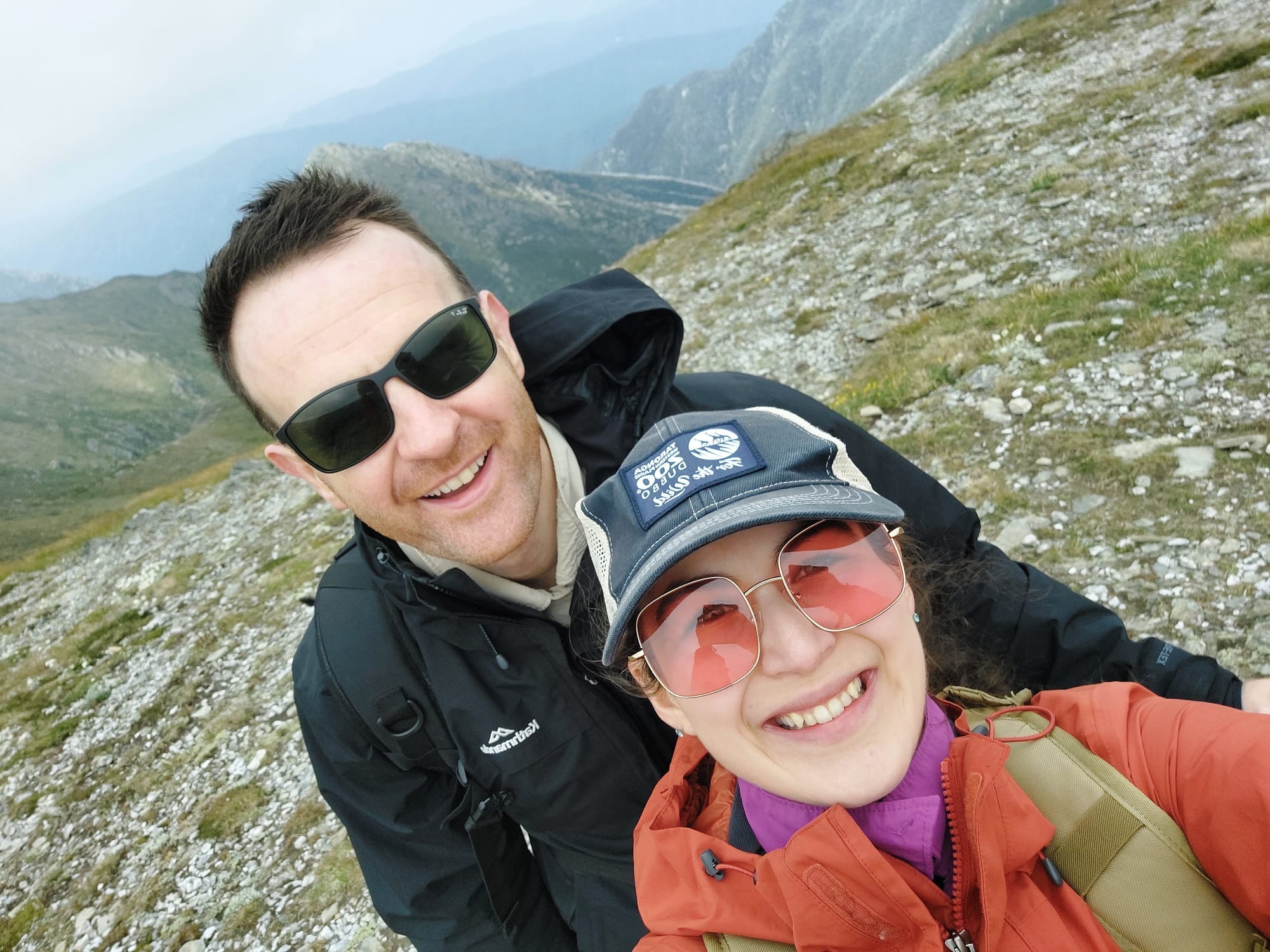
Guthega Trig, Consett Stephen Pass and Mount Tate Loop
Considered a “challenging” route by All Trails with an average time of 8 hours (no exact equivalent in NSW National Parks website) - 21.1km (although we extended it out to about 24km) - for more information and hiker review, see https://www.alltrails.com/trail/australia/new-south-wales/guthega-swing-bridge-loop
We completed this hike at the end of January 2025. It was the first hike after my foot injury which happened on the South Coast Track. I wanted to test my foot and build back the confidence. I picked a trail that follows parts of the Australia’s 15 Highest Peaks route and the Snowies Alpine Main Range walk. We saw plenty of people on the trail — some of them were runners (a good idea) and some were multi-day hikers.
The trail starts at the Guthega Day Car Park, which is a popular car park with many day hike options. Getting a car park is a bit tricky here, so you might want to arrive early. Definitely pack in water, a rain jacket (or something to shield from the wind), sunnies, sunscreen and some food.
The trail is cold and windy (alpine region), the landscape is dry, rocky and bushy, the terrain is up and down (would be challenging on a rainy day, about 475m elevation throughout the trail), the views are great (if it’s not too misty and cloudy) and it’s very bright with a high UV index (elevation).
We began the hike with a bit of a descend. Multiple trails split off, so we had to keep our eyes on the map during the first 15 minutes. Once we crossed the small flowing creek, we took the left turn and began our climb. We snacked on chocolate protein bars throughout the constant climb and saw some rocks to take pictures from.
Eventually we saw another split off at a very beautiful lookout to some pond or lake (that I could not figure out on the map) and tried to take some pictures in the mist.
We turned to the right again and continued our climb all the way to Mt Tate. The trail doesn’t actually goes to the summit of each mountain, but rather climbs quite high and circles around. It’s completely possible to make short side trips to each one of the summits though (shouldn’t take more than 15 minutes).
At the distance we could see Gills Knobs (another mountain peak). As we continued on a slight descend and said, hello, to the multi-day hikers, we came close to Mount David as well. There is a little climb towards Mt Anderson, and a bigger climb towards Mt Anton.
Watch the map and watch the trail carefully around here. Yes, we got lost, again. I feel like when we follow a trail from All Trails, we get lost about 40% of the time. I just don’t enjoy a hike when I obsessively check the map every 10 minutes (I’m not the best guide/leader), these trails are challenging in their nature and less defined (unmarked).
This time, our mistake was to follow the wrong markings. We actually diverged off into another trail which followed a wire fence with red markers, headed towards some other mountain (maybe Mt Twynam). The landscape changed a bit (we were seeing some boulders) and we were expecting to descend (instead we were still climbing).
So, after hiking for about 30 minutes, we decided to check the map. That’s when we realised we were headed to the wrong direction and bush bashed our way back to the correct trail, which took about the same time. Before the 2km struggle (which demotivated us), we decided to take a quick water and snack break. It was lunch time and we were feeling the hunger.
This is our, ‘got lost, but oh well, we do that a few times every year,’ look. Lost but happy.
Side note: that seemed like a remote but very interesting route to explore. If we had our overnight gear on, we may have gone out to see where is leads us.
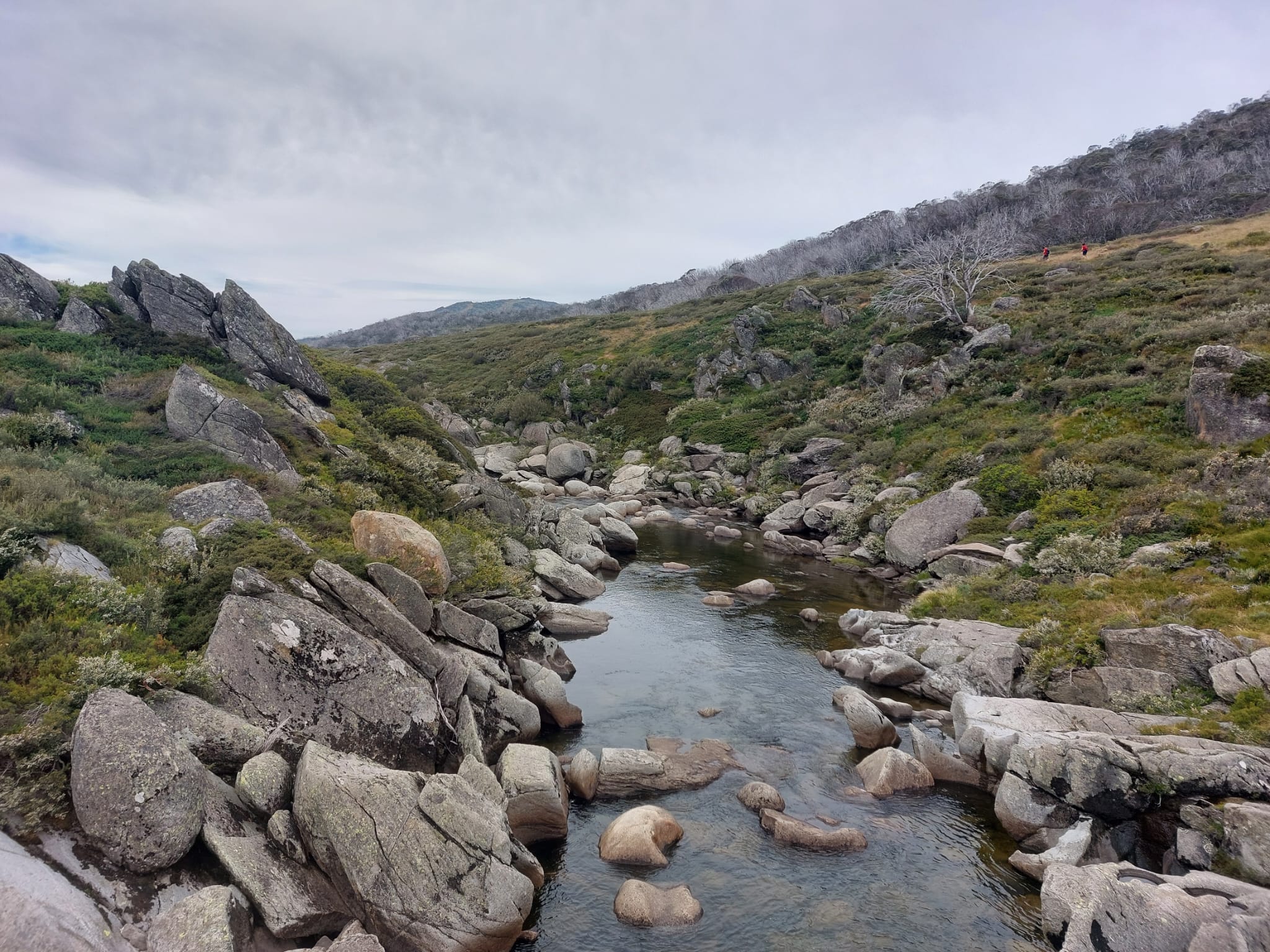
Back onto the trail, we began our long descend and crossed two little bridge-like structures. That was a relief, as we were getting a little tired. However, I want to emphasise; this part of the trail is still not marked properly (and everywhere looks the same — bush and rocks).
The constant descend brought us to a different climate. It felt warmer, less windy, less exposed, a bit more wet, and with a larger variety of plants (greener, more flowers etc). We could hear the cars on the road from a distance, even though we could not see anything.
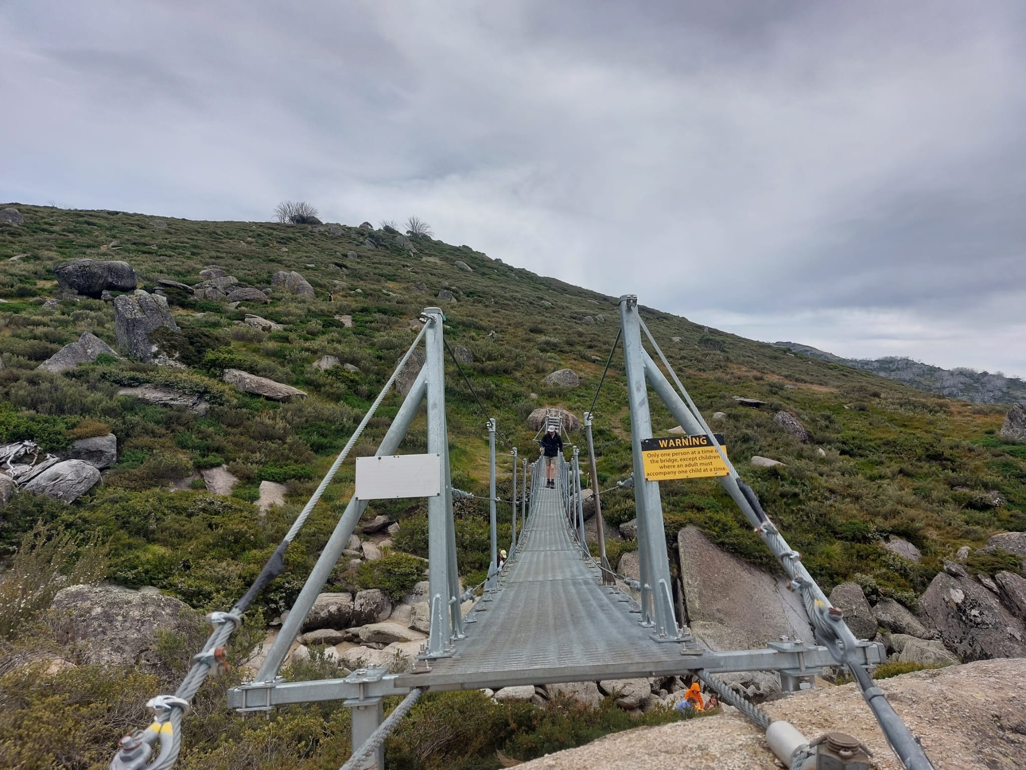
We crossed two bridges (one of them is called the Illawong Swing Bridge), which swung as we walked on them. That was fun. After the first bridge, we had our proper lunch break and had banana sandwiches, apples and a chief meat bar. Great views. The Snowy River seemed to have strong currents, a fierce flow and an icy look about it. However, we saw a few people with towels trying to dip their legs in from a more shallow-looking part of the river. That may be a brave choice by them.
We took a right turn and kept going inland, away from the river. The trail had lots of markers to signal the pathways around. The terrain got flatter and we eventually began walking on a metal platform, which is usually a sign for high traffic (or the end/beginning of a trail). We passed lots of medium-height trees and saw plenty of small birds. Lovely scenic walk. But after about 15 minutes, I got bored on the metal platforms, so jogged a bit of the way.
Eventually, we saw the Snowy River again. We were both pretty tired at that point and felt desperate to get back to the Jeep. When we saw the curvy and steep climb on a fire trail, we knew that we had less than a kilometre to go, but it still felt annoying (why make the last kilometre of a hike so tough).
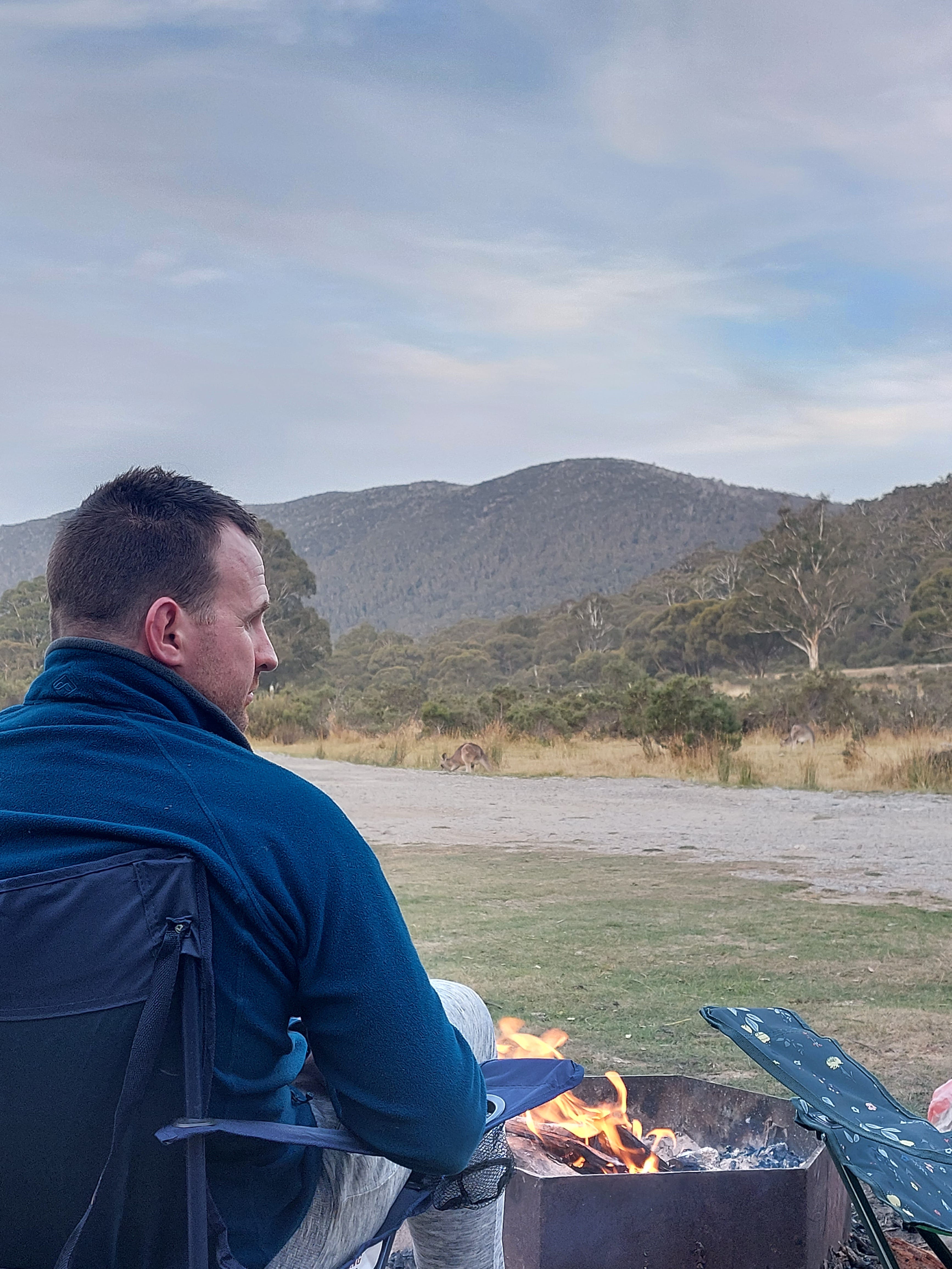
Anyway, I think we finished the trail in 6 hours 45 minutes and returned to the Jeep very hungry. Campfire and food were prepared. One of our camp neighbours had music on. The sky had cleared up from the clouds. What else could we have wanted?
This was probably the best hike we’ve done in the region.
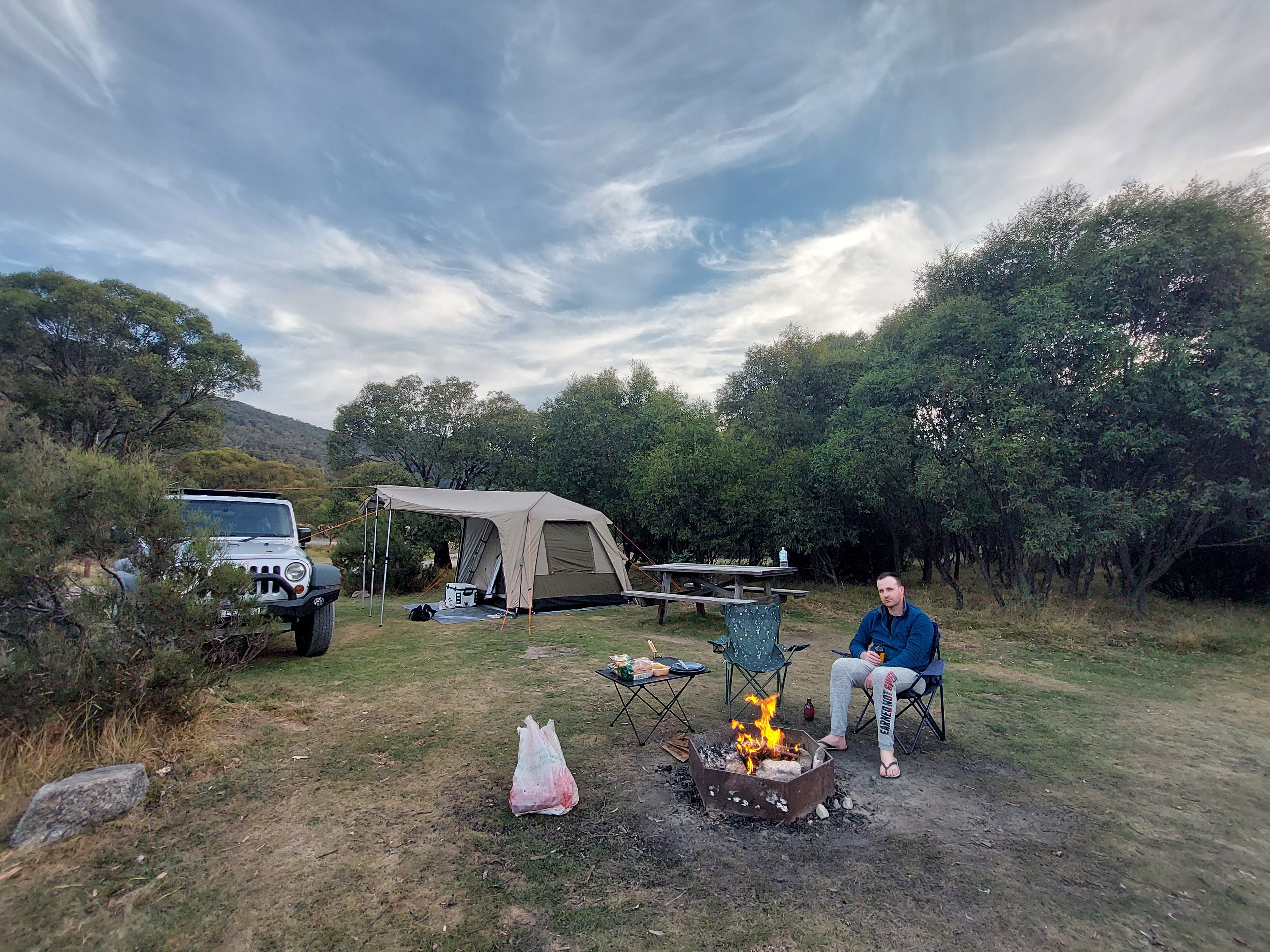
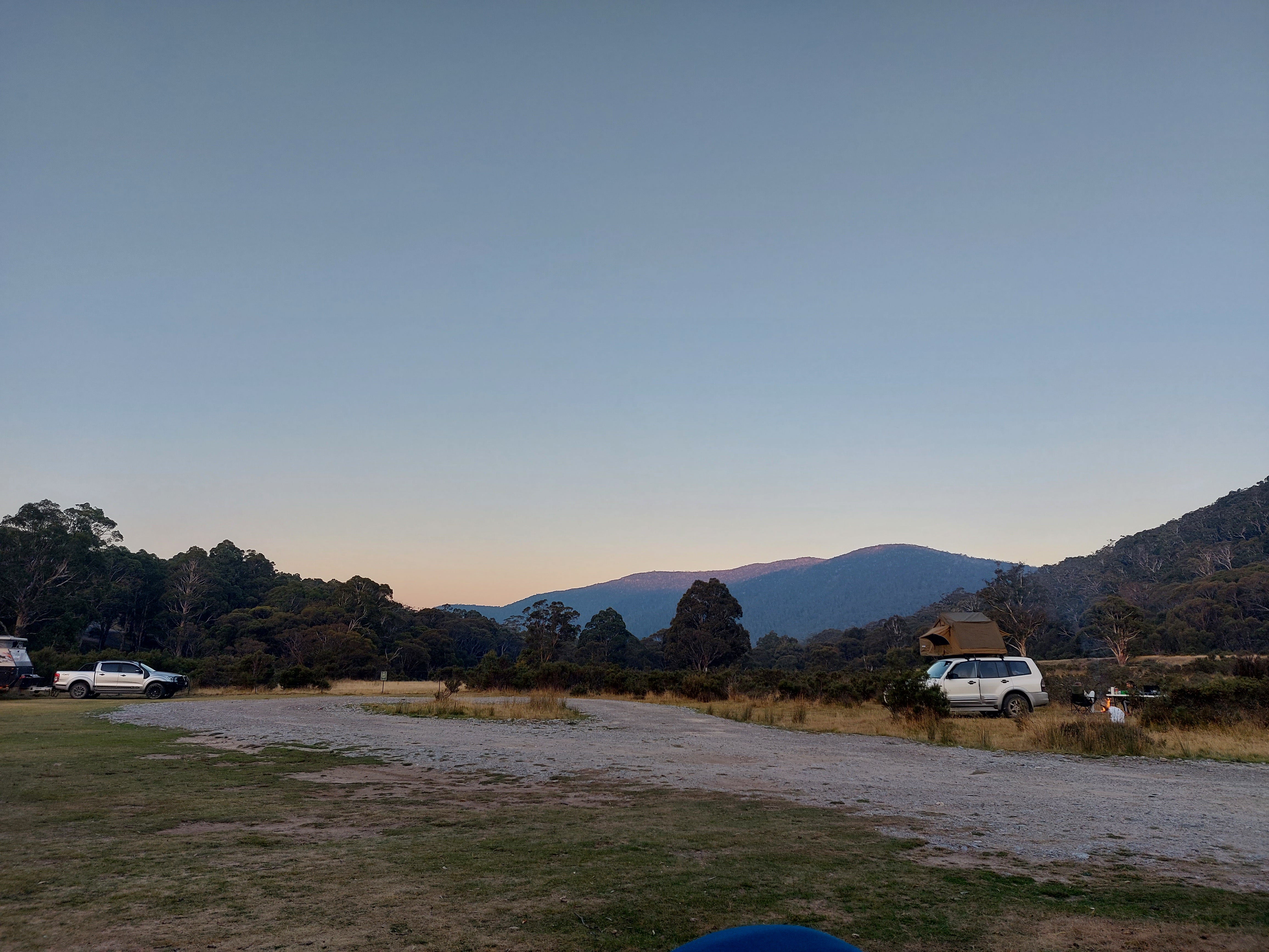
Camping at the Island Bend campground. This place had a lovely (and freezing) swimming spot about 15 minutes walk away (or it is possible to drive to it).
Lunch at Wild Brumby Distillery. I had a very memorable rocket, parmesan, prosciutto and pecorino salad here — very delicious. This is also a good spot to purchase some souvenirs/gifts, if you are into alcohol.
If you got some patience, a better camera and are camping, you can take much better pictures of the kangaroos and wallabies in the area than me. They do not shy away.
Questions: if you have any questions about my notes, leave a comment and I’ll reply.
Thanks for reading! Subscribe for free to receive new posts and support my work.